Taoudenni geodata
Taoudenni (Taoudénit) is a seat of a first-order administrative division; located in Mali in Africa/Bamako (GMT+0) time zone. With population of 3,019 people, there are 37 cities with bigger population in this country. Compared to other cities in Mali, 100% of cities are located further ↓South; 70.5% of cities are located further ←West and 95.1% of cities have higher elevation than Taoudenni. Note1


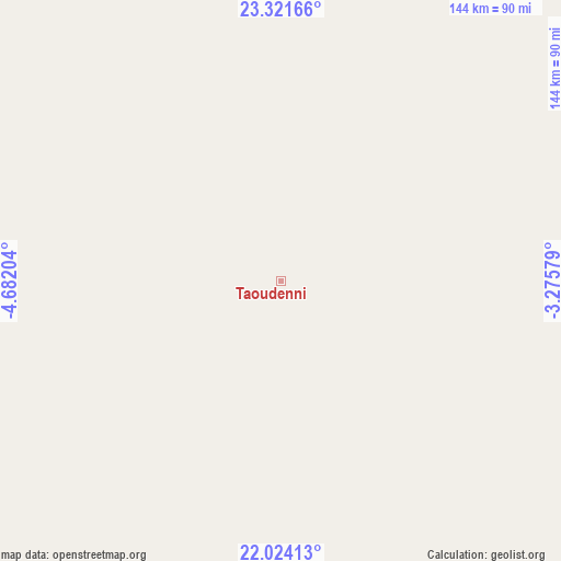
Taoudenni GPS coordinates[2]
22° 40' 27.948" North, 3° 58' 44.076" West
| Map corner | latitude | longitude |
|---|---|---|
| Upper-left | 23.32166°, | -4.68204° |
| Center: | 22.67443°, | -3.97891° |
| Lower-right: | 22.02413°, | -3.27579° |
| Map W x H: | 144.3×144.3 km | = 89.7×89.7mi |
| max Lat: | 22.67443° ⇑0% North |
| Taoudenni: | 22.67443° |
| min Lat: | ⇓100% South 10.55° |
| min Long | Taoudenni | max Long |
| -11.44448° | -3.97891° | 3.14111° |
| W 70.5%⇐ | ⇒29.5% E |
Elevation
Elevation of Taoudenni is 137 m = 449 ft, and this is 171 m = 561 ft below average elevation for this country.
| Max E: |
540 m = 1772 ft | 95.1% |
| Avg. | 308 m = 1010 ft | |
| Taoudenni | 137 m = 449 ft | |
Min E: |
39 m = 128 ft | 4.9% |
See also: Mali elevation on elevation.city.
Geographical zone
Taoudenni is located in North Torrid zone (between Equator and Tropic of Cancer). Distance of this Northern Tropic circle is 84.8 km =52.7 mi to North.| Distance of | km | miles | from Taoudenni |
|---|---|---|---|
| North Pole | 7485.9 | 4651.5 | to North |
| Arctic Circle | 4880 | 3032.3 | to North |
| Tropic Cancer | 84.8 | 52.7 | to North |
| Equator | 2521.2 | 1566.6 | to South |


Nearby cities:
1 places around Taoudenni: (largest is in red/bold)
• Araouane
421.8 km =262.1 mi,  173°
173°
Sources, notices
• [Note1] Compared only with cities in Mali existing in our database
• [Src1] Map data: © OpenStreetMap contributors (CC-BY-SA)
• [Src2] Other city data from geonames.org with taken over terms of usage.
• [Src3] Geographical zone / Annual Mean Temperature by Robert A. Rohde @ Wikipedia
