Moerai geodata
Moerai (Îles Australes) is a populated place; located in French Polynesia in Pacific/Tahiti (GMT-10) time zone. With population of 1,044 people, there are 34 cities with bigger population in this country. Compared to other cities in French Polynesia, 92.3% of cities are located further ↑North; 84.6% of cities are located further →East and 71.8% of cities have higher elevation than Moerai. Note1


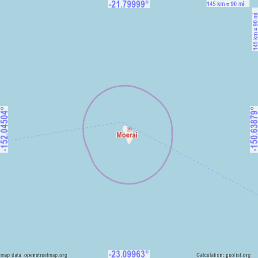
Moerai GPS coordinates[2]
22° 27' 4.788" South, 151° 20' 30.876" West
| Map corner | latitude | longitude |
|---|---|---|
| Upper-left | -21.79999°, | -152.04504° |
| Center: | -22.45133°, | -151.34191° |
| Lower-right: | -23.09963°, | -150.63879° |
| Map W x H: | 144.5×144.5 km | = 89.8×89.8mi |
| max Lat: | -8.91093° ⇑92.3% North |
| Moerai: | -22.45133° |
| min Lat: | ⇓7.7% South -23.34722° |
| min Long | Moerai | max Long |
| -151.74913° | -151.34191° | -134.96858° |
| W 15.4%⇐ | ⇒84.6% E |
Elevation
Elevation of Moerai is 6 m = 20 ft, and this is 16.6 m = 54 ft below average elevation for this country.
| Max E: |
245 m = 804 ft | 71.8% |
| Avg. | 22.6 m = 74 ft | |
| Moerai | 6 m = 20 ft | |
Min E: |
1 m = 3 ft | 28.2% |
See also: French Polynesia elevation on elevation.city.
Geographical zone
Moerai is located in South Torrid zone (between Equator and Tropic of Capricorn). Distance of this Southern Tropic circle is 109.6 km =68.1 mi to South.| Distance of | km | miles | from Moerai |
|---|---|---|---|
| Equator | 2496.4 | 1551.2 | to North |
| Tropic Capricorn | 109.6 | 68.1 | to South |
| Antarctic Circle | 4904.8 | 3047.7 | to South |
| South Pole | 7510.7 | 4666.9 | to South |


Nearby cities:
2 places around Moerai: (largest is in red/bold)
• Avera
3.1 km =1.9 mi,  197°
197°
• Mataura
214.7 km =133.4 mi,  117°
117°
Sources, notices
• [Note1] Compared only with cities in French Polynesia existing in our database
• [Src1] Map data: © OpenStreetMap contributors (CC-BY-SA)
• [Src2] Other city data from geonames.org with taken over terms of usage.
• [Src3] Geographical zone / Annual Mean Temperature by Robert A. Rohde @ Wikipedia
