Tinaan geodata
Tinaan (Central Visayas) is a populated place; located in Philippines in Asia/Manila (GMT+8) time zone. With population of 5,959 people, there are 1057 cities with bigger population in this country. Compared to other cities in Philippines, 53.6% of cities are located further ↑North; 66.8% of cities are located further ←West and 80.7% of cities have higher elevation than Tinaan. Note1


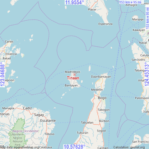
Tinaan GPS coordinates[2]
11° 16' 0.012" North, 123° 45' 0" East
| Map corner | latitude | longitude |
|---|---|---|
| Upper-left | 11.9554°, | 123.04688° |
| Center: | 11.26667°, | 123.75° |
| Lower-right: | 10.57628°, | 124.45313° |
| Map W x H: | 153.3×153.3 km | = 95.3×95.3mi |
| max Lat: | 20.78733° ⇑53.6% North |
| Tinaan: | 11.26667° |
| min Lat: | ⇓46.4% South 4.65442° |
| min Long | Tinaan | max Long |
| 117.04868° | 123.75° | 126.58417° |
| W 66.8%⇐ | ⇒33.2% E |
Elevation
Elevation of Tinaan is 9 m = 30 ft, and this is 78.9 m = 259 ft below average elevation for this country.
| Max E: |
2262 m = 7421 ft | 80.7% |
| Avg. | 87.9 m = 288 ft | |
| Tinaan | 9 m = 30 ft | |
Min E: |
-2 m = -7 ft | 19.3% |
See also: Philippines elevation on elevation.city.
Geographical zone
Tinaan is located in North Torrid zone (between Equator and Tropic of Cancer). Distance of Equator is 1252.7 km =778.4 mi to South.| Distance of | km | miles | from Tinaan |
|---|---|---|---|
| North Pole | 8754.3 | 5439.7 | to North |
| Arctic Circle | 6148.4 | 3820.4 | to North |
| Tropic Cancer | 1353.2 | 840.8 | to North |
| Equator | 1252.7 | 778.4 | to South |


Nearby cities:
15 places around Tinaan: (largest is in red/bold)
• Atop-atop
4 km =2.5 mi,  163°
163°
• Bantayan
11.3 km =7 mi,  195°
195°
• Baud
8 km =5 mi,  219°
219°
• Guiwanon
9 km =5.6 mi,  210°
210°
• Hilantagaan
10.6 km =6.6 mi,  139°
139°
• Kabac
6.7 km =4.2 mi,  238°
238°
• Kaongkod
1.9 km =1.2 mi, 161°
• Madridejos
3.9 km =2.4 mi,  333°
333°
• Mancilang
1.9 km =1.2 mi,  347°
347°
• Maricaban
12.9 km =8 mi,  171°
171°
• Ocoy
11.6 km =7.2 mi, 155°
• Patao
8.1 km =5 mi,  230°
230°
• Santa Fe
13.9 km =8.6 mi,  154°
154°
• Sillon
7.8 km =4.8 mi, 165°
• Sulangan
14.7 km =9.1 mi,  191°
191°
Sources, notices
• [Note1] Compared only with cities in Philippines existing in our database
• [Src1] Map data: © OpenStreetMap contributors (CC-BY-SA)
• [Src2] Other city data from geonames.org with taken over terms of usage.
• [Src3] Geographical zone / Annual Mean Temperature by Robert A. Rohde @ Wikipedia
