Saint-Pierre geodata
Saint-Pierre is a capital of a political entity; located in Saint Pierre and Miquelon in America/Miquelon (GMT-2) time zone. With population of 6,200 people, there are 0 cities with bigger population in this country. Note1


Saint-Pierre GPS coordinates[2]
46° 46' 44.904" North, 56° 10' 38.28" West
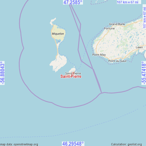
| Map corner | latitude | longitude |
|---|---|---|
| Upper-left | 47.2585°, | -56.88043° |
| Center: | 46.77914°, | -56.1773° |
| Lower-right: | 46.29548°, | -55.47418° |
| Map W x H: | 107.1×107.1 km | = 66.5×66.5mi |
Elevation
Elevation of Saint-Pierre is 30 m = 98 ft, and this is 13 m = 43 ft above average elevation for this country.
See also: Saint Pierre and Miquelon elevation on elevation.city.
Geographical zone
Saint-Pierre is located in North temperate zone (between Tropic of Cancer and the Arctic Circle). Distance of this North polar circle is 2199.8 km =1366.9 mi to North.| Distance of | km | miles | from Saint-Pierre |
|---|---|---|---|
| North Pole | 4805.7 | 2986.1 | to North |
| Arctic Circle | 2199.8 | 1366.9 | to North |
| Tropic Cancer | 2595.4 | 1612.7 | to South |
| Equator | 5201.4 | 3232 | to South |


Nearby cities:
1 places around Saint-Pierre: (largest is in red/bold)
• Miquelon
38.6 km =24 mi,  336°
336°
Sources, notices
• [Note1] Compared only with cities in Saint Pierre and Miquelon existing in our database
• [Src1] Map data: © OpenStreetMap contributors (CC-BY-SA)
• [Src2] Other city data from geonames.org with taken over terms of usage.
• [Src3] Geographical zone / Annual Mean Temperature by Robert A. Rohde @ Wikipedia
