Popești geodata
Popești (Vrancea) is a seat of a second-order administrative division; located in Romania in Europe/Bucharest (GMT+3) time zone. With population of 2,575 people, there are 2096 cities with bigger population in this country. Compared to other cities in Romania, 53.7% of cities are located further ↑North; 84.7% of cities are located further ←West and 62% of cities have higher elevation than Popești. Note1


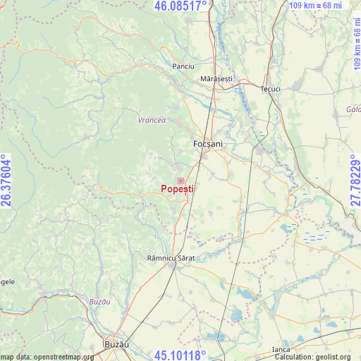
Popești GPS coordinates[2]
45° 35' 43.188" North, 27° 4' 44.976" East
| Map corner | latitude | longitude |
|---|---|---|
| Upper-left | 46.08517°, | 26.37604° |
| Center: | 45.59533°, | 27.07916° |
| Lower-right: | 45.10118°, | 27.78229° |
| Map W x H: | 109.4×109.4 km | = 68×68mi |
| max Lat: | 48.23793° ⇑53.7% North |
| Popești: | 45.59533° |
| min Lat: | ⇓46.3% South 43.65638° |
| min Long | Popești | max Long |
| 20.31667° | 27.07916° | 29.65403° |
| W 84.7%⇐ | ⇒15.3% E |
Elevation
Elevation of Popești is 159 m = 522 ft, and this is 95.9 m = 315 ft below average elevation for this country.
| Max E: |
1278 m = 4193 ft | 62% |
| Avg. | 254.9 m = 836 ft | |
| Popești | 159 m = 522 ft | |
Min E: |
-2 m = -7 ft | 38% |
See also: Romania elevation on elevation.city.
Geographical zone
Popești is located in North temperate zone (between Tropic of Cancer and the Arctic Circle). Distance of this North polar circle is 2331.4 km =1448.7 mi to North.| Distance of | km | miles | from Popești |
|---|---|---|---|
| North Pole | 4937.3 | 3067.9 | to North |
| Arctic Circle | 2331.4 | 1448.7 | to North |
| Tropic Cancer | 2463.8 | 1530.9 | to South |
| Equator | 5069.7 | 3150.2 | to South |


Nearby cities:
15 places around Popești: (largest is in red/bold)
• Blidari
7.7 km =4.8 mi,  347°
347°
• Bordeşti
5.5 km =3.4 mi,  204°
204°
• Bordeștii de Jos
7 km =4.3 mi,  206°
206°
• Budești
4 km =2.5 mi,  334°
334°
• Coteşti
6.5 km =4 mi,  339°
339°
• Dragosloveni
3.7 km =2.3 mi,  181°
181°
• Dumbrăveni
7.5 km =4.7 mi,  157°
157°
• Gugeşti
5.3 km =3.3 mi,  127°
127°
• Gura Caliţei
5 km =3.1 mi,  254°
254°
• Oreavu
5.6 km =3.5 mi,  96°
96°
• Podu Lacului
8.8 km =5.5 mi,  307°
307°
• Pădureni
8 km =5 mi,  190°
190°
• Terchești
2.4 km =1.5 mi,  239°
239°
• Urecheşti
1.1 km =0.7 mi,  298°
298°
• Valea Cotești
4.4 km =2.7 mi,  356°
356°
Sources, notices
• [Note1] Compared only with cities in Romania existing in our database
• [Src1] Map data: © OpenStreetMap contributors (CC-BY-SA)
• [Src2] Other city data from geonames.org with taken over terms of usage.
• [Src3] Geographical zone / Annual Mean Temperature by Robert A. Rohde @ Wikipedia
