Cârţa geodata
Cârţa (Harghita) is a seat of a second-order administrative division; located in Romania in Europe/Bucharest (GMT+3) time zone. With population of 5,407 people, there are 658 cities with bigger population in this country. Compared to other cities in Romania, 67.8% of cities are located further ↓South; 58.1% of cities are located further ←West and 97.3% of cities have lower elevation than Cârţa. Note1


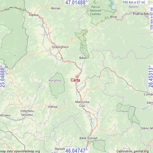
Cârţa GPS coordinates[2]
46° 31' 59.988" North, 25° 45' 0" East
| Map corner | latitude | longitude |
|---|---|---|
| Upper-left | 47.01488°, | 25.04688° |
| Center: | 46.53333°, | 25.75° |
| Lower-right: | 46.04747°, | 26.45313° |
| Map W x H: | 107.6×107.6 km | = 66.9×66.9mi |
| max Lat: | 48.23793° ⇑32.2% North |
| Cârţa: | 46.53333° |
| min Lat: | ⇓67.8% South 43.65638° |
| min Long | Cârţa | max Long |
| 20.31667° | 25.75° | 29.65403° |
| W 58.1%⇐ | ⇒41.9% E |
Elevation
Elevation of Cârţa is 735 m = 2411 ft, and this is 480.1 m = 1575 ft above average elevation for this country.
| Max E: |
1278 m = 4193 ft | 2.7% |
| Cârţa | 735 m 2411 ft | |
| Avg. | 254.9 m = 836 ft | |
Min E: |
-2 m = -7 ft | 97.3% |
See also: Romania elevation on elevation.city.
Geographical zone
Cârţa is located in North temperate zone (between Tropic of Cancer and the Arctic Circle). Distance of this North polar circle is 2227.2 km =1383.9 mi to North.| Distance of | km | miles | from Cârţa |
|---|---|---|---|
| North Pole | 4833 | 3003.1 | to North |
| Arctic Circle | 2227.2 | 1383.9 | to North |
| Tropic Cancer | 2568.1 | 1595.7 | to South |
| Equator | 5174 | 3215 | to South |


Nearby cities:
15 places around Cârţa: (largest is in red/bold)
• Bârzava
12.5 km =7.8 mi,  154°
154°
• Dăneşti
1.9 km =1.2 mi,  180°
180°
• Frumoasa
12 km =7.5 mi,  140°
140°
• Ineu
1.7 km =1.1 mi,  37°
37°
• Izvoru Mureșului
11.6 km =7.2 mi,  333°
333°
• Livezi
7.9 km =4.9 mi,  102°
102°
• Mihăileni
9 km =5.6 mi, 145°
• Mădăraș
4.3 km =2.7 mi, 182°
• Nicolești
12.7 km =7.9 mi, 145°
• Nădejdea
8 km =5 mi,  120°
120°
• Racu
9.1 km =5.7 mi,  174°
174°
• Siculeni
13 km =8.1 mi, 180°
• Sândominic
6.1 km =3.8 mi,  22°
22°
• Tomești
3.4 km =2.1 mi, 41°
• Văcărești
8.4 km =5.2 mi, 153°
Sources, notices
• [Note1] Compared only with cities in Romania existing in our database
• [Src1] Map data: © OpenStreetMap contributors (CC-BY-SA)
• [Src2] Other city data from geonames.org with taken over terms of usage.
• [Src3] Geographical zone / Annual Mean Temperature by Robert A. Rohde @ Wikipedia
