Arghira geodata
Arghira (Suceava) is a populated place; located in Romania in Europe/Bucharest (GMT+3) time zone. With population of 1,214 people, there are 3714 cities with bigger population in this country. Compared to other cities in Romania, 90% of cities are located further ↓South; 72.1% of cities are located further ←West and 57.7% of cities have lower elevation than Arghira. Note1


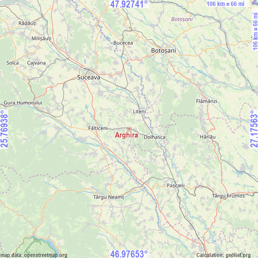
Arghira GPS coordinates[2]
47° 27' 14.832" North, 26° 28' 21" East
| Map corner | latitude | longitude |
|---|---|---|
| Upper-left | 47.92741°, | 25.76938° |
| Center: | 47.45412°, | 26.4725° |
| Lower-right: | 46.97653°, | 27.17563° |
| Map W x H: | 105.7×105.7 km | = 65.7×65.7mi |
| max Lat: | 48.23793° ⇑10% North |
| Arghira: | 47.45412° |
| min Lat: | ⇓90% South 43.65638° |
| min Long | Arghira | max Long |
| 20.31667° | 26.4725° | 29.65403° |
| W 72.1%⇐ | ⇒27.9% E |
Elevation
Elevation of Arghira is 251 m = 823 ft, and this is 3.9 m = 13 ft below average elevation for this country.
| Max E: |
1278 m = 4193 ft | 42.3% |
| Avg. | 254.9 m = 836 ft | |
| Arghira | 251 m = 823 ft | |
Min E: |
-2 m = -7 ft | 57.7% |
See also: Romania elevation on elevation.city.
Geographical zone
Arghira is located in North temperate zone (between Tropic of Cancer and the Arctic Circle). Distance of this North polar circle is 2124.8 km =1320.3 mi to North.| Distance of | km | miles | from Arghira |
|---|---|---|---|
| North Pole | 4730.7 | 2939.5 | to North |
| Arctic Circle | 2124.8 | 1320.3 | to North |
| Tropic Cancer | 2670.5 | 1659.4 | to South |
| Equator | 5276.4 | 3278.6 | to South |


Nearby cities:
15 places around Arghira: (largest is in red/bold)
• Basarabi
2.5 km =1.6 mi,  268°
268°
• Boura
5.4 km =3.4 mi,  173°
173°
• Corni
7 km =4.3 mi,  71°
71°
• Dolheștii Mici
6.3 km =3.9 mi,  108°
108°
• Dolheștii-Mari
3.1 km =1.9 mi,  98°
98°
• Giurgești
6.7 km =4.2 mi,  326°
326°
• Huși
6.4 km =4 mi,  263°
263°
• Leucușești
8 km =5 mi,  248°
248°
• Manolea
5.9 km =3.7 mi,  185°
185°
• Preuteşti
4.2 km =2.6 mi, 263°
• Rotunda
5.4 km =3.4 mi,  46°
46°
• Siliștea
7.6 km =4.7 mi,  3°
3°
• Valea Bourei
4.1 km =2.5 mi,  141°
141°
• Valea Glodului
6.5 km =4 mi,  343°
343°
• Vultureşti
7.2 km =4.5 mi,  346°
346°
Sources, notices
• [Note1] Compared only with cities in Romania existing in our database
• [Src1] Map data: © OpenStreetMap contributors (CC-BY-SA)
• [Src2] Other city data from geonames.org with taken over terms of usage.
• [Src3] Geographical zone / Annual Mean Temperature by Robert A. Rohde @ Wikipedia
