Tura geodata
Tura (Krasnoyarskiy) is a populated place; located in Russia in Asia/Krasnoyarsk (GMT+7) time zone. With population of 5,444 people, there are 2457 cities with bigger population in this country. Compared to other cities in Russia, 97.1% of cities are located further ↓South; 88.1% of cities are located further ←West and 74.5% of cities have lower elevation than Tura. Note1


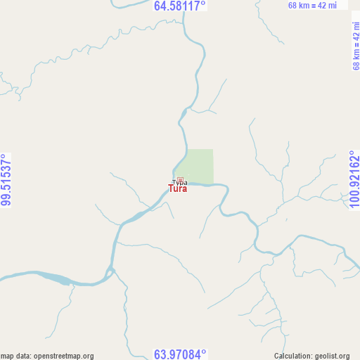
Tura GPS coordinates[2]
64° 16' 39.684" North, 100° 13' 6.564" East
| Map corner | latitude | longitude |
|---|---|---|
| Upper-left | 64.58117°, | 99.51537° |
| Center: | 64.27769°, | 100.21849° |
| Lower-right: | 63.97084°, | 100.92162° |
| Map W x H: | 67.9×67.9 km | = 42.2×42.2mi |
| max Lat: | 73.50819° ⇑2.9% North |
| Tura: | 64.27769° |
| min Lat: | ⇓97.1% South 41.28413° |
| min Long | Tura | max Long |
| -179.12198° | 100.21849° | 179.35046° |
| W 88.1%⇐ | ⇒11.9% E |
Elevation
Elevation of Tura is 214 m = 702 ft, and this is 11.4 m = 37 ft above average elevation for this country.
| Max E: |
2518 m = 8261 ft | 25.5% |
| Tura | 214 m 702 ft | |
| Avg. | 202.6 m = 665 ft | |
Min E: |
-28 m = -92 ft | 74.5% |
See also: Russia elevation on elevation.city.
Geographical zone
Tura is located in North temperate zone (between Tropic of Cancer and the Arctic Circle). Distance of this North polar circle is 254.2 km =158 mi to North.| Distance of | km | miles | from Tura |
|---|---|---|---|
| North Pole | 2860.1 | 1777.2 | to North |
| Arctic Circle | 254.2 | 158 | to North |
| Tropic Cancer | 4541.1 | 2821.7 | to South |
| Equator | 7147 | 4440.9 | to South |


Nearby cities:
15 places around Tura: (largest is in red/bold)
• Aykhal
557.6 km =346.5 mi,  70°
70°
• Baykit
348.1 km =216.3 mi,  213°
213°
• Boguchany
671.8 km =417.4 mi,  192°
192°
• Bor
594.7 km =369.5 mi,  240°
240°
• Chernyshevskiy
619.7 km =385.1 mi,  103°
103°
• Kodinsk
633 km =393.3 mi, 185°
• Manzya
676.6 km =420.4 mi,  198°
198°
• Severo-Yeniseyskiy
570.3 km =354.4 mi,  220°
220°
• Svetlogorsk
618.6 km =384.4 mi,  298°
298°
• Teya
584.2 km =363 mi, 222°
• Turukhansk
598.8 km =372.1 mi,  286°
286°
• Udachny
612.2 km =380.4 mi, 67°
• Vanavara
449.9 km =279.6 mi,  166°
166°
• Yerbogachen
517.4 km =321.5 mi,  130°
130°
• Yuzhno-Yeniseyskiy
678.2 km =421.4 mi, 205°
Sources, notices
• [Note1] Compared only with cities in Russia existing in our database
• [Src1] Map data: © OpenStreetMap contributors (CC-BY-SA)
• [Src2] Other city data from geonames.org with taken over terms of usage.
• [Src3] Geographical zone / Annual Mean Temperature by Robert A. Rohde @ Wikipedia
