Zavolzh’ye geodata
Zavolzh’ye (Nizhny Novgorod Oblast) is a populated place; located in Russia in Europe/Moscow (GMT+3) time zone. With population of 42,900 people, there are 489 cities with bigger population in this country. Compared to other cities in Russia, 73.8% of cities are located further ↓South; 55.1% of cities are located further →East and 77.2% of cities have higher elevation than Zavolzh’ye. Note1


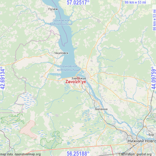
Zavolzh’ye GPS coordinates[2]
56° 38' 25.836" North, 43° 23' 40.056" East
| Map corner | latitude | longitude |
|---|---|---|
| Upper-left | 57.02517°, | 42.69134° |
| Center: | 56.64051°, | 43.39446° |
| Lower-right: | 56.25188°, | 44.09759° |
| Map W x H: | 86×86 km | = 53.4×53.4mi |
| max Lat: | 73.50819° ⇑26.2% North |
| Zavolzh’ye: | 56.64051° |
| min Lat: | ⇓73.8% South 41.28413° |
| min Long | Zavolzh’ye | max Long |
| -179.12198° | 43.39446° | 179.35046° |
| W 44.9%⇐ | ⇒55.1% E |
Elevation
Elevation of Zavolzh’ye is 80 m = 262 ft, and this is 122.6 m = 402 ft below average elevation for this country.
| Max E: |
2518 m = 8261 ft | 77.2% |
| Avg. | 202.6 m = 665 ft | |
| Zavolzh’ye | 80 m = 262 ft | |
Min E: |
-28 m = -92 ft | 22.8% |
See also: Zavolzh’ye elevation on elevation.city.
Geographical zone
Zavolzh’ye is located in North temperate zone (between Tropic of Cancer and the Arctic Circle). Distance of this North polar circle is 1103.3 km =685.6 mi to North.| Distance of | km | miles | from Zavolzh’ye |
|---|---|---|---|
| North Pole | 3709.2 | 2304.8 | to North |
| Arctic Circle | 1103.3 | 685.6 | to North |
| Tropic Cancer | 3691.9 | 2294 | to South |
| Equator | 6297.8 | 3913.3 | to South |


Nearby cities:
15 places around Zavolzh’ye: (largest is in red/bold)
• Berëzovaya Poyma
36.3 km =22.6 mi,  157°
157°
• Bol’shoye Kozino
32.8 km =20.4 mi,  143°
143°
• Chistoye
26.5 km =16.5 mi,  244°
244°
• Chkalovsk
16.6 km =10.3 mi,  328°
328°
• Gidrotorf
20.3 km =12.6 mi,  154°
154°
• Gorodets
5 km =3.1 mi,  71°
71°
• Katunki
23.7 km =14.7 mi, 333°
• Lukino
26.4 km =16.4 mi, 146°
• Maloye Kozino
28.3 km =17.6 mi, 142°
• Novaya Balakhna
21 km =13 mi, 142°
• Pervomayskiy
3.6 km =2.2 mi,  217°
217°
• Pervoye Maya
29.6 km =18.4 mi, 147°
• Puchezh
40.1 km =24.9 mi,  339°
339°
• Purekh
20 km =12.4 mi,  272°
272°
• Pyra
38.5 km =23.9 mi,  183°
183°
Sources, notices
• [Note1] Compared only with cities in Russia existing in our database
• [Src1] Map data: © OpenStreetMap contributors (CC-BY-SA)
• [Src2] Other city data from geonames.org with taken over terms of usage.
• [Src3] Geographical zone / Annual Mean Temperature by Robert A. Rohde @ Wikipedia
