Orud’yevo geodata
Orud’yevo (Moscow Oblast) is a populated place; located in Russia in Europe/Moscow (GMT+3) time zone. With population of 1,334 people, there are 4452 cities with bigger population in this country. Compared to other cities in Russia, 72% of cities are located further ↓South; 81.5% of cities are located further →East and 53.5% of cities have lower elevation than Orud’yevo. Note1


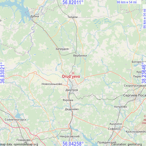
Orud’yevo GPS coordinates[2]
56° 25' 59.988" North, 37° 31' 59.988" East
| Map corner | latitude | longitude |
|---|---|---|
| Upper-left | 56.82011°, | 36.83021° |
| Center: | 56.43333°, | 37.53333° |
| Lower-right: | 56.04258°, | 38.23646° |
| Map W x H: | 86.5×86.5 km | = 53.7×53.7mi |
| max Lat: | 73.50819° ⇑28% North |
| Orud’yevo: | 56.43333° |
| min Lat: | ⇓72% South 41.28413° |
| min Long | Orud’yevo | max Long |
| -179.12198° | 37.53333° | 179.35046° |
| W 18.5%⇐ | ⇒81.5% E |
Elevation
Elevation of Orud’yevo is 153 m = 502 ft, and this is 49.6 m = 163 ft below average elevation for this country.
| Max E: |
2518 m = 8261 ft | 46.5% |
| Avg. | 202.6 m = 665 ft | |
| Orud’yevo | 153 m = 502 ft | |
Min E: |
-28 m = -92 ft | 53.5% |
See also: Russia elevation on elevation.city.
Geographical zone
Orud’yevo is located in North temperate zone (between Tropic of Cancer and the Arctic Circle). Distance of this North polar circle is 1126.4 km =699.9 mi to North.| Distance of | km | miles | from Orud’yevo |
|---|---|---|---|
| North Pole | 3732.3 | 2319.1 | to North |
| Arctic Circle | 1126.4 | 699.9 | to North |
| Tropic Cancer | 3668.9 | 2279.7 | to South |
| Equator | 6274.8 | 3899 | to South |


Nearby cities:
15 places around Orud’yevo: (largest is in red/bold)
• Avtopoligon
15.9 km =9.9 mi,  234°
234°
• Budenovetc
8.3 km =5.2 mi,  135°
135°
• Bunyatino
17.8 km =11.1 mi,  257°
257°
• Dmitrov
9.9 km =6.2 mi,  184°
184°
• Gorshkovo
9.8 km =6.1 mi, 229°
• Melchevka
9.2 km =5.7 mi,  293°
293°
• Novo-Nikol’skoye
14.8 km =9.2 mi,  0°
0°
• Novosin’kovo
14 km =8.7 mi,  243°
243°
• Ol'yavidovo
15.5 km =9.6 mi,  59°
59°
• Orevo
4.2 km =2.6 mi,  265°
265°
• Rybnoye
5.9 km =3.7 mi,  112°
112°
• Verbilki
11.8 km =7.3 mi,  20°
20°
• Yakhroma
15.1 km =9.4 mi,  191°
191°
• Zaprudnya
16 km =9.9 mi,  337°
337°
• Zhukovka
5.7 km =3.5 mi,  349°
349°
Sources, notices
• [Note1] Compared only with cities in Russia existing in our database
• [Src1] Map data: © OpenStreetMap contributors (CC-BY-SA)
• [Src2] Other city data from geonames.org with taken over terms of usage.
• [Src3] Geographical zone / Annual Mean Temperature by Robert A. Rohde @ Wikipedia
