Selezyan geodata
Selezyan (Chelyabinsk) is a populated place; located in Russia in Asia/Yekaterinburg (GMT+5) time zone. With population of 1,400 people, there are 4429 cities with bigger population in this country. Compared to other cities in Russia, 52.2% of cities are located further ↓South; 74.3% of cities are located further ←West and 69.8% of cities have lower elevation than Selezyan. Note1


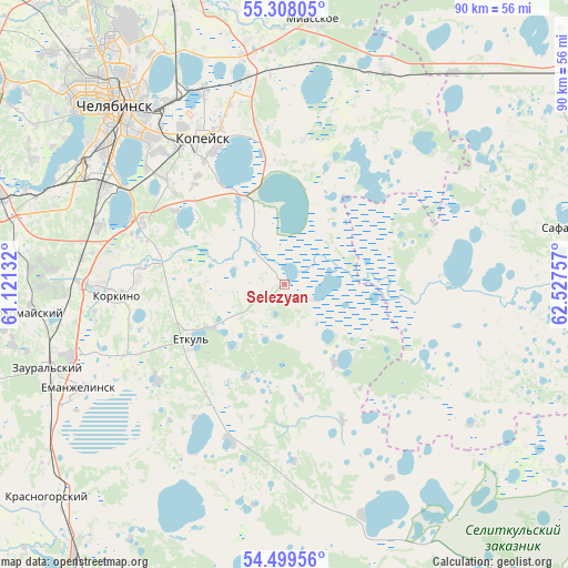
Selezyan GPS coordinates[2]
54° 54' 20.988" North, 61° 49' 27.984" East
| Map corner | latitude | longitude |
|---|---|---|
| Upper-left | 55.30805°, | 61.12132° |
| Center: | 54.90583°, | 61.82444° |
| Lower-right: | 54.49956°, | 62.52757° |
| Map W x H: | 89.9×89.9 km | = 55.9×55.9mi |
| max Lat: | 73.50819° ⇑47.8% North |
| Selezyan: | 54.90583° |
| min Lat: | ⇓52.2% South 41.28413° |
| min Long | Selezyan | max Long |
| -179.12198° | 61.82444° | 179.35046° |
| W 74.3%⇐ | ⇒25.7% E |
Elevation
Elevation of Selezyan is 197 m = 646 ft, and this is 5.6 m = 18 ft below average elevation for this country.
| Max E: |
2518 m = 8261 ft | 30.2% |
| Avg. | 202.6 m = 665 ft | |
| Selezyan | 197 m = 646 ft | |
Min E: |
-28 m = -92 ft | 69.8% |
See also: Russia elevation on elevation.city.
Geographical zone
Selezyan is located in North temperate zone (between Tropic of Cancer and the Arctic Circle). Distance of this North polar circle is 1296.2 km =805.4 mi to North.| Distance of | km | miles | from Selezyan |
|---|---|---|---|
| North Pole | 3902.1 | 2424.7 | to North |
| Arctic Circle | 1296.2 | 805.4 | to North |
| Tropic Cancer | 3499 | 2174.2 | to South |
| Equator | 6105 | 3793.5 | to South |


Nearby cities:
15 places around Selezyan: (largest is in red/bold)
• Bazhovo
22.1 km =13.7 mi,  320°
320°
• Chelyabinsk
37.4 km =23.2 mi, 317°
• Gornyak
27 km =16.8 mi,  340°
340°
• Kanashevo
37.8 km =23.5 mi,  23°
23°
• Kopeysk
26.6 km =16.5 mi,  331°
331°
• Korkino
27.4 km =17 mi,  266°
266°
• Novosineglazovskiy
32.2 km =20 mi,  297°
297°
• Potanino
33 km =20.5 mi, 336°
• Roza
23.4 km =14.5 mi, 272°
• Starokamyshinsk
21.2 km =13.2 mi,  314°
314°
• Vakhrushevo
36.9 km =22.9 mi,  349°
349°
• Yemanzhelinka
35.6 km =22.1 mi,  250°
250°
• Yemanzhelinsk
36.4 km =22.6 mi,  242°
242°
• Yetkul’
17.8 km =11.1 mi, 238°
• Zheleznodorozhnyy
28 km =17.4 mi, 321°
Sources, notices
• [Note1] Compared only with cities in Russia existing in our database
• [Src1] Map data: © OpenStreetMap contributors (CC-BY-SA)
• [Src2] Other city data from geonames.org with taken over terms of usage.
• [Src3] Geographical zone / Annual Mean Temperature by Robert A. Rohde @ Wikipedia
