Barentsburg geodata
Barentsburg (Svalbard) is a populated place; located in Svalbard and Jan Mayen in Arctic/Longyearbyen (GMT+2) time zone. With population of 576 people, there is 1 city with bigger population in this country. Compared to other cities in Svalbard and Jan Mayen, 50% of cities are located further ↓South; 50% of cities are located further ←West and 100% of cities have lower elevation than Barentsburg. Note1


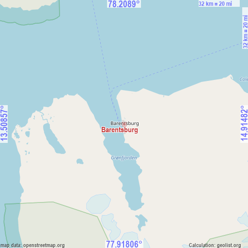
Barentsburg GPS coordinates[2]
78° 3' 51.66" North, 14° 12' 42.084" East
| Map corner | latitude | longitude |
|---|---|---|
| Upper-left | 78.2089°, | 13.50857° |
| Center: | 78.06435°, | 14.21169° |
| Lower-right: | 77.91806°, | 14.91482° |
| Map W x H: | 32.3×32.3 km | = 20.1×20.1mi |
| max Lat: | 78.22334° ⇑50% North |
| Barentsburg: | 78.06435° |
| min Lat: | ⇓50% South 70.9221° |
| min Long | Barentsburg | max Long |
| -8.7187° | 14.21169° | 15.64689° |
| W 50%⇐ | ⇒50% E |
Elevation
Elevation of Barentsburg is 50 m = 164 ft, and this is 32.7 m = 107 ft above average elevation for this country.
| Max E: |
50 m = 164 ft | 0% |
| Barentsburg | 50 m 164 ft | |
| Avg. | 17.3 m = 57 ft | |
Min E: |
1 m = 3 ft | 100% |
See also: Svalbard and Jan Mayen elevation on elevation.city.
Geographical zone
Barentsburg is located in North Frigid zone (between North Pole and Arctic Circle). Distance of this North polar circle is 1278.8 km =794.6 mi to South.| Distance of | km | miles | from Barentsburg |
|---|---|---|---|
| North Pole | 1327.1 | 824.6 | to North |
| Arctic Circle | 1278.8 | 794.6 | to South |
| Tropic Cancer | 6074 | 3774.2 | to South |
| Equator | 8679.9 | 5393.4 | to South |


Nearby cities:
1 places around Barentsburg: (largest is in red/bold)
• Longyearbyen
37.2 km =23.1 mi,  61°
61°
Sources, notices
• [Note1] Compared only with cities in Svalbard and Jan Mayen existing in our database
• [Src1] Map data: © OpenStreetMap contributors (CC-BY-SA)
• [Src2] Other city data from geonames.org with taken over terms of usage.
• [Src3] Geographical zone / Annual Mean Temperature by Robert A. Rohde @ Wikipedia
