Bardaï geodata
Bardaï (Tibesti) is a seat of a first-order administrative division; located in Chad in Africa/Ndjamena (GMT+1) time zone. In our database, there are 46 cities with bigger population. Compared to other cities in Chad, 97.9% of cities are located further ↓South; 51.1% of cities are located further ←West and 97.9% of cities have lower elevation than Bardaï. Note1


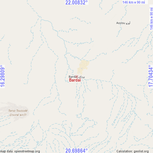
Bardaï GPS coordinates[2]
21° 21' 17.784" North, 17° 0' 4.356" East
| Map corner | latitude | longitude |
|---|---|---|
| Upper-left | 22.00832°, | 16.29809° |
| Center: | 21.35494°, | 17.00121° |
| Lower-right: | 20.69864°, | 17.70434° |
| Map W x H: | 145.6×145.6 km | = 90.5×90.5mi |
| max Lat: | 21.8375° ⇑2.1% North |
| Bardaï: | 21.35494° |
| min Lat: | ⇓97.9% South 8.26681° |
| min Long | Bardaï | max Long |
| 14.1539° | 17.00121° | 22.84308° |
| W 51.1%⇐ | ⇒48.9% E |
Elevation
Elevation of Bardaï is 1017 m = 3337 ft, and this is 579.7 m = 1902 ft above average elevation for this country.
| Max E: |
1046 m = 3432 ft | 2.1% |
| Bardaï | 1017 m 3337 ft | |
| Avg. | 437.3 m = 1435 ft | |
Min E: |
242 m = 794 ft | 97.9% |
See also: Chad elevation on elevation.city.
Geographical zone
Bardaï is located in North Torrid zone (between Equator and Tropic of Cancer). Distance of this Northern Tropic circle is 231.5 km =143.8 mi to North.| Distance of | km | miles | from Bardaï |
|---|---|---|---|
| North Pole | 7632.6 | 4742.7 | to North |
| Arctic Circle | 5026.7 | 3123.4 | to North |
| Tropic Cancer | 231.5 | 143.8 | to North |
| Equator | 2374.4 | 1475.4 | to South |


 39°
39°Sources, notices
• [Note1] Compared only with cities in Chad existing in our database
• [Src1] Map data: © OpenStreetMap contributors (CC-BY-SA)
• [Src2] Other city data from geonames.org with taken over terms of usage.
• [Src3] Geographical zone / Annual Mean Temperature by Robert A. Rohde @ Wikipedia
