Bay Pines geodata
Bay Pines (Florida) is a populated place; located in United States in America/New_York (GMT-4) time zone. With population of 2,931 people, there are 9749 cities with bigger population in this country. Compared to other cities in United States, 97% of cities are located further ↑North; 62.6% of cities are located further ←West and 96.6% of cities have higher elevation than Bay Pines. Note1


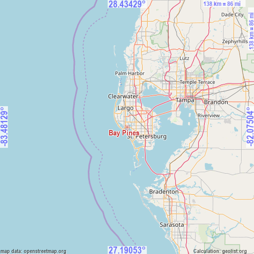
Bay Pines GPS coordinates[2]
27° 48' 51.084" North, 82° 46' 41.376" West
| Map corner | latitude | longitude |
|---|---|---|
| Upper-left | 28.43429°, | -83.48129° |
| Center: | 27.81419°, | -82.77816° |
| Lower-right: | 27.19053°, | -82.07504° |
| Map W x H: | 138.3×138.3 km | = 85.9×85.9mi |
| max Lat: | 71.29058° ⇑97% North |
| Bay Pines: | 27.81419° |
| min Lat: | ⇓3% South 19.06759° |
| min Long | Bay Pines | max Long |
| -171.73463° | -82.77816° | -66.98998° |
| W 62.6%⇐ | ⇒37.4% E |
Elevation
Elevation of Bay Pines is 7 m = 23 ft, and this is 287.8 m = 944 ft below average elevation for this country.
| Max E: |
3189 m = 10463 ft | 96.6% |
| Avg. | 294.8 m = 967 ft | |
| Bay Pines | 7 m = 23 ft | |
Min E: |
-60 m = -197 ft | 3.4% |
See also: United States elevation on elevation.city.
Geographical zone
Bay Pines is located in North temperate zone (between Tropic of Cancer and the Arctic Circle). Distance of this Northern Tropic circle is 486.7 km =302.4 mi to South.| Distance of | km | miles | from Bay Pines |
|---|---|---|---|
| North Pole | 6914.4 | 4296.4 | to North |
| Arctic Circle | 4308.5 | 2677.2 | to North |
| Tropic Cancer | 486.7 | 302.4 | to South |
| Equator | 3092.6 | 1921.7 | to South |


Nearby cities:
15 places around Bay Pines: (largest is in red/bold)
• Gulfport
10.4 km =6.5 mi,  134°
134°
• Indian Rocks Beach
9.9 km =6.2 mi,  313°
313°
• Indian Shores
8.8 km =5.5 mi, 308°
• Kenneth City
5.7 km =3.5 mi,  88°
88°
• Lealman
9.8 km =6.1 mi, 85°
• Madeira Beach
2.6 km =1.6 mi,  226°
226°
• North Redington Beach
4.2 km =2.6 mi,  272°
272°
• Pinellas Park
8.4 km =5.2 mi,  67°
67°
• Redington Beach
3.3 km =2.1 mi,  259°
259°
• Redington Shores
5.2 km =3.2 mi,  284°
284°
• Ridgecrest
9.6 km =6 mi,  343°
343°
• Seminole
3.1 km =1.9 mi, 335°
• South Pasadena
7.7 km =4.8 mi,  148°
148°
• Treasure Island
5.1 km =3.2 mi,  169°
169°
• West and East Lealman
8.7 km =5.4 mi, 85°
Sources, notices
• [Note1] Compared only with cities in United States existing in our database
• [Src1] Map data: © OpenStreetMap contributors (CC-BY-SA)
• [Src2] Other city data from geonames.org with taken over terms of usage.
• [Src3] Geographical zone / Annual Mean Temperature by Robert A. Rohde @ Wikipedia
