Hi-Nella geodata
Hi-Nella (New Jersey) is a populated place; located in United States in America/New_York (GMT-4) time zone. With population of 860 people, there are 17286 cities with bigger population in this country. Compared to other cities in United States, 51.8% of cities are located further ↓South; 87.2% of cities are located further ←West and 85.4% of cities have higher elevation than Hi-Nella. Note1


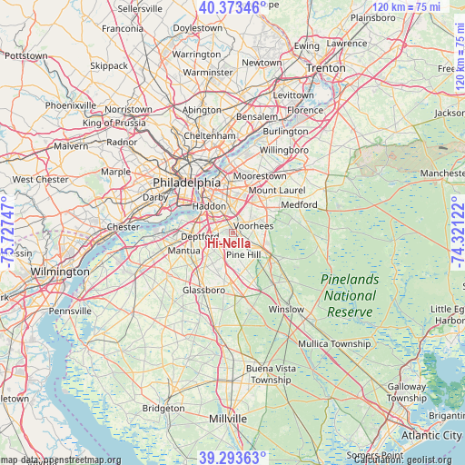
Hi-Nella GPS coordinates[2]
39° 50' 8.412" North, 75° 1' 27.624" West
| Map corner | latitude | longitude |
|---|---|---|
| Upper-left | 40.37346°, | -75.72747° |
| Center: | 39.83567°, | -75.02434° |
| Lower-right: | 39.29363°, | -74.32122° |
| Map W x H: | 120.1×120.1 km | = 74.6×74.6mi |
| max Lat: | 71.29058° ⇑48.2% North |
| Hi-Nella: | 39.83567° |
| min Lat: | ⇓51.8% South 19.06759° |
| min Long | Hi-Nella | max Long |
| -171.73463° | -75.02434° | -66.98998° |
| W 87.2%⇐ | ⇒12.8% E |
Elevation
Elevation of Hi-Nella is 27 m = 89 ft, and this is 267.8 m = 879 ft below average elevation for this country.
| Max E: |
3189 m = 10463 ft | 85.4% |
| Avg. | 294.8 m = 967 ft | |
| Hi-Nella | 27 m = 89 ft | |
Min E: |
-60 m = -197 ft | 14.6% |
See also: United States elevation on elevation.city.
Geographical zone
Hi-Nella is located in North temperate zone (between Tropic of Cancer and the Arctic Circle). Distance of this Northern Tropic circle is 1823.4 km =1133 mi to South.| Distance of | km | miles | from Hi-Nella |
|---|---|---|---|
| North Pole | 5577.8 | 3465.9 | to North |
| Arctic Circle | 2971.9 | 1846.7 | to North |
| Tropic Cancer | 1823.4 | 1133 | to South |
| Equator | 4429.3 | 2752.2 | to South |


Nearby cities:
15 places around Hi-Nella: (largest is in red/bold)
• Ashland
3.4 km =2.1 mi,  27°
27°
• Barrington
4.2 km =2.6 mi,  320°
320°
• Blackwood
5 km =3.1 mi,  222°
222°
• Brookfield
5.3 km =3.3 mi,  8°
8°
• Clementon
4.4 km =2.7 mi,  127°
127°
• Echelon
2.8 km =1.7 mi,  59°
59°
• Gibbsboro
5.1 km =3.2 mi,  86°
86°
• Glendora
4.2 km =2.6 mi,  275°
275°
• Laurel Springs
2.3 km =1.4 mi,  138°
138°
• Lawnside
3.4 km =2.1 mi,  354°
354°
• Lindenwold
2.6 km =1.6 mi,  119°
119°
• Magnolia
2.4 km =1.5 mi,  329°
329°
• Runnemede
4.2 km =2.6 mi,  296°
296°
• Somerdale
0.9 km =0.6 mi, 8°
• Stratford
1.2 km =0.7 mi, 142°
Sources, notices
• [Note1] Compared only with cities in United States existing in our database
• [Src1] Map data: © OpenStreetMap contributors (CC-BY-SA)
• [Src2] Other city data from geonames.org with taken over terms of usage.
• [Src3] Geographical zone / Annual Mean Temperature by Robert A. Rohde @ Wikipedia
