Lynchburg geodata
Lynchburg (Tennessee) is a seat of a second-order administrative division; located in United States in America/Chicago (GMT-5) time zone. With population of 6,132 people, there are 6317 cities with bigger population in this country. Compared to other cities in United States, 73.8% of cities are located further ↑North; 51.9% of cities are located further ←West and 61.2% of cities have lower elevation than Lynchburg. Note1


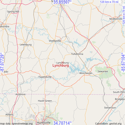
Lynchburg GPS coordinates[2]
35° 16' 59.304" North, 86° 22' 26.976" West
| Map corner | latitude | longitude |
|---|---|---|
| Upper-left | 35.85507°, | -87.07729° |
| Center: | 35.28314°, | -86.37416° |
| Lower-right: | 34.70714°, | -85.67104° |
| Map W x H: | 127.6×127.6 km | = 79.3×79.3mi |
| max Lat: | 71.29058° ⇑73.8% North |
| Lynchburg: | 35.28314° |
| min Lat: | ⇓26.2% South 19.06759° |
| min Long | Lynchburg | max Long |
| -171.73463° | -86.37416° | -66.98998° |
| W 51.9%⇐ | ⇒48.1% E |
Elevation
Elevation of Lynchburg is 245 m = 804 ft, and this is 49.8 m = 163 ft below average elevation for this country.
| Max E: |
3189 m = 10463 ft | 38.8% |
| Avg. | 294.8 m = 967 ft | |
| Lynchburg | 245 m = 804 ft | |
Min E: |
-60 m = -197 ft | 61.2% |
See also: United States elevation on elevation.city.
Geographical zone
Lynchburg is located in North temperate zone (between Tropic of Cancer and the Arctic Circle). Distance of this Northern Tropic circle is 1317.2 km =818.5 mi to South.| Distance of | km | miles | from Lynchburg |
|---|---|---|---|
| North Pole | 6083.9 | 3780.4 | to North |
| Arctic Circle | 3478.1 | 2161.2 | to North |
| Tropic Cancer | 1317.2 | 818.5 | to South |
| Equator | 3923.1 | 2437.7 | to South |


Nearby cities:
15 places around Lynchburg: (largest is in red/bold)
• Bell Buckle
34.4 km =21.4 mi,  3°
3°
• Brighton
23.3 km =14.5 mi,  194°
194°
• Cowan
35.6 km =22.1 mi,  111°
111°
• Decherd
28 km =17.4 mi, 106°
• Estill Springs
22.4 km =13.9 mi,  93°
93°
• Fayetteville
23 km =14.3 mi,  230°
230°
• Flintville
24.9 km =15.5 mi, 189°
• Huntland
27.5 km =17.1 mi,  159°
159°
• Manchester
34 km =21.1 mi,  49°
49°
• Park City
28.6 km =17.8 mi,  218°
218°
• Petersburg
24.2 km =15 mi,  279°
279°
• Shelbyville
23.6 km =14.7 mi,  340°
340°
• Tullahoma
17.3 km =10.7 mi,  59°
59°
• Wartrace
27.4 km =17 mi,  7°
7°
• Winchester
26.1 km =16.2 mi, 114°
Sources, notices
• [Note1] Compared only with cities in United States existing in our database
• [Src1] Map data: © OpenStreetMap contributors (CC-BY-SA)
• [Src2] Other city data from geonames.org with taken over terms of usage.
• [Src3] Geographical zone / Annual Mean Temperature by Robert A. Rohde @ Wikipedia
