Merrifield geodata
Merrifield (Virginia) is a populated place; located in United States in America/New_York (GMT-4) time zone. With population of 15,212 people, there are 3202 cities with bigger population in this country. Compared to other cities in United States, 56% of cities are located further ↑North; 79.7% of cities are located further ←West and 68.6% of cities have higher elevation than Merrifield. Note1


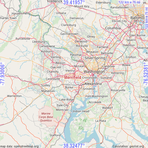
Merrifield GPS coordinates[2]
38° 52' 27.408" North, 77° 13' 36.948" West
| Map corner | latitude | longitude |
|---|---|---|
| Upper-left | 39.41957°, | -77.93006° |
| Center: | 38.87428°, | -77.22693° |
| Lower-right: | 38.32477°, | -76.52381° |
| Map W x H: | 121.7×121.7 km | = 75.6×75.6mi |
| max Lat: | 71.29058° ⇑56% North |
| Merrifield: | 38.87428° |
| min Lat: | ⇓44% South 19.06759° |
| min Long | Merrifield | max Long |
| -171.73463° | -77.22693° | -66.98998° |
| W 79.7%⇐ | ⇒20.3% E |
Elevation
Elevation of Merrifield is 109 m = 358 ft, and this is 185.8 m = 610 ft below average elevation for this country.
| Max E: |
3189 m = 10463 ft | 68.6% |
| Avg. | 294.8 m = 967 ft | |
| Merrifield | 109 m = 358 ft | |
Min E: |
-60 m = -197 ft | 31.4% |
See also: United States elevation on elevation.city.
Geographical zone
Merrifield is located in North temperate zone (between Tropic of Cancer and the Arctic Circle). Distance of this Northern Tropic circle is 1716.5 km =1066.6 mi to South.| Distance of | km | miles | from Merrifield |
|---|---|---|---|
| North Pole | 5684.6 | 3532.2 | to North |
| Arctic Circle | 3078.8 | 1913.1 | to North |
| Tropic Cancer | 1716.5 | 1066.6 | to South |
| Equator | 4322.4 | 2685.8 | to South |


Nearby cities:
15 places around Merrifield: (largest is in red/bold)
• Annandale
5.6 km =3.5 mi,  151°
151°
• Dunn Loring
2.2 km =1.4 mi,  12°
12°
• Fairfax
7.6 km =4.7 mi,  245°
245°
• Falls Church
4.9 km =3 mi,  79°
79°
• Idylwood
2.7 km =1.7 mi,  29°
29°
• Jefferson
3.6 km =2.2 mi,  107°
107°
• Lake Barcroft
6.8 km =4.2 mi,  115°
115°
• Mantua
3.6 km =2.2 mi,  230°
230°
• Oakton
6.4 km =4 mi,  276°
276°
• Pimmit Hills
4.9 km =3 mi, 27°
• Seven Corners
6.2 km =3.9 mi,  92°
92°
• Tysons Corner
5 km =3.1 mi,  355°
355°
• Vienna
4.5 km =2.8 mi,  312°
312°
• West Falls Church
4.1 km =2.5 mi,  63°
63°
• Woodburn
3.1 km =1.9 mi,  194°
194°
Sources, notices
• [Note1] Compared only with cities in United States existing in our database
• [Src1] Map data: © OpenStreetMap contributors (CC-BY-SA)
• [Src2] Other city data from geonames.org with taken over terms of usage.
• [Src3] Geographical zone / Annual Mean Temperature by Robert A. Rohde @ Wikipedia
