MacArthur geodata
MacArthur (West Virginia) is a populated place; located in United States in America/New_York (GMT-4) time zone. With population of 1,500 people, there are 13654 cities with bigger population in this country. Compared to other cities in United States, 62.9% of cities are located further ↑North; 68.8% of cities are located further ←West and 91.4% of cities have lower elevation than MacArthur. Note1


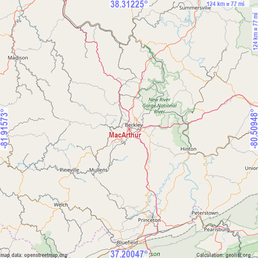
MacArthur GPS coordinates[2]
37° 45' 30.42" North, 81° 12' 45.36" West
| Map corner | latitude | longitude |
|---|---|---|
| Upper-left | 38.31225°, | -81.91573° |
| Center: | 37.75845°, | -81.2126° |
| Lower-right: | 37.20047°, | -80.50948° |
| Map W x H: | 123.6×123.6 km | = 76.8×76.8mi |
| max Lat: | 71.29058° ⇑62.9% North |
| MacArthur: | 37.75845° |
| min Lat: | ⇓37.1% South 19.06759° |
| min Long | MacArthur | max Long |
| -171.73463° | -81.2126° | -66.98998° |
| W 68.8%⇐ | ⇒31.2% E |
Elevation
Elevation of MacArthur is 742 m = 2434 ft, and this is 447.2 m = 1467 ft above average elevation for this country.
| Max E: |
3189 m = 10463 ft | 8.6% |
| MacArthur | 742 m 2434 ft | |
| Avg. | 294.8 m = 967 ft | |
Min E: |
-60 m = -197 ft | 91.4% |
See also: United States elevation on elevation.city.
Geographical zone
MacArthur is located in North temperate zone (between Tropic of Cancer and the Arctic Circle). Distance of this Northern Tropic circle is 1592.4 km =989.5 mi to South.| Distance of | km | miles | from MacArthur |
|---|---|---|---|
| North Pole | 5808.7 | 3609.4 | to North |
| Arctic Circle | 3202.8 | 1990.1 | to North |
| Tropic Cancer | 1592.4 | 989.5 | to South |
| Equator | 4198.3 | 2608.7 | to South |


Nearby cities:
15 places around MacArthur: (largest is in red/bold)
• Beaver
6.2 km =3.9 mi,  101°
101°
• Beckley
3.1 km =1.9 mi,  44°
44°
• Bolt
17.6 km =10.9 mi,  271°
271°
• Bradley
12 km =7.5 mi,  7°
7°
• Coal City
8.8 km =5.5 mi,  178°
178°
• Crab Orchard
2.5 km =1.6 mi,  218°
218°
• Daniels
8 km =5 mi, 102°
• Hilltop
21.2 km =13.2 mi, 14°
• Mabscott
1.4 km =0.9 mi, 14°
• Mount Hope
15.8 km =9.8 mi,  15°
15°
• Piney View
11 km =6.8 mi, 38°
• Prosperity
8.7 km =5.4 mi, 6°
• Shady Spring
11.6 km =7.2 mi,  120°
120°
• Sophia
6.6 km =4.1 mi,  210°
210°
• Stanaford
8.3 km =5.2 mi, 39°
Sources, notices
• [Note1] Compared only with cities in United States existing in our database
• [Src1] Map data: © OpenStreetMap contributors (CC-BY-SA)
• [Src2] Other city data from geonames.org with taken over terms of usage.
• [Src3] Geographical zone / Annual Mean Temperature by Robert A. Rohde @ Wikipedia
