Glasford geodata
Glasford (Illinois) is a populated place; located in United States in America/Chicago (GMT-5) time zone. With population of 1,003 people, there are 16262 cities with bigger population in this country. Compared to other cities in United States, 59.7% of cities are located further ↓South; 58.5% of cities are located further →East and 52.8% of cities have higher elevation than Glasford. Note1


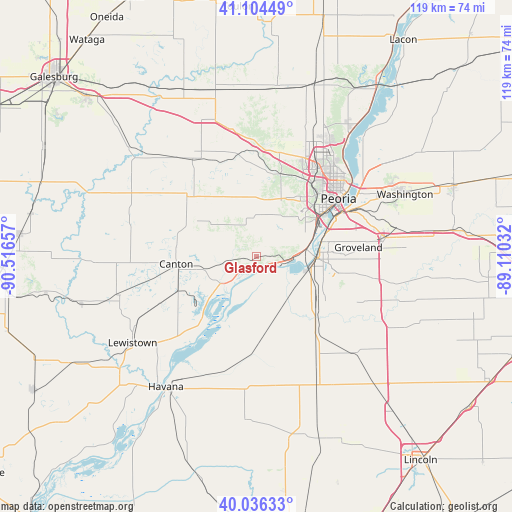
Glasford GPS coordinates[2]
40° 34' 21.144" North, 89° 48' 48.384" West
| Map corner | latitude | longitude |
|---|---|---|
| Upper-left | 41.10449°, | -90.51657° |
| Center: | 40.57254°, | -89.81344° |
| Lower-right: | 40.03633°, | -89.11032° |
| Map W x H: | 118.8×118.8 km | = 73.8×73.8mi |
| max Lat: | 71.29058° ⇑40.3% North |
| Glasford: | 40.57254° |
| min Lat: | ⇓59.7% South 19.06759° |
| min Long | Glasford | max Long |
| -171.73463° | -89.81344° | -66.98998° |
| W 41.5%⇐ | ⇒58.5% E |
Elevation
Elevation of Glasford is 188 m = 617 ft, and this is 106.8 m = 350 ft below average elevation for this country.
| Max E: |
3189 m = 10463 ft | 52.8% |
| Avg. | 294.8 m = 967 ft | |
| Glasford | 188 m = 617 ft | |
Min E: |
-60 m = -197 ft | 47.2% |
See also: United States elevation on elevation.city.
Geographical zone
Glasford is located in North temperate zone (between Tropic of Cancer and the Arctic Circle). Distance of this Northern Tropic circle is 1905.3 km =1183.9 mi to South.| Distance of | km | miles | from Glasford |
|---|---|---|---|
| North Pole | 5495.8 | 3414.9 | to North |
| Arctic Circle | 2889.9 | 1795.7 | to North |
| Tropic Cancer | 1905.3 | 1183.9 | to South |
| Equator | 4511.2 | 2803.1 | to South |


Nearby cities:
15 places around Glasford: (largest is in red/bold)
• Bartonville
16.1 km =10 mi,  57°
57°
• Bellevue
16.8 km =10.4 mi,  42°
42°
• Canton
18.8 km =11.7 mi,  265°
265°
• Creve Coeur
20.5 km =12.7 mi,  66°
66°
• East Peoria
22.3 km =13.9 mi, 62°
• Farmington
21.4 km =13.3 mi,  310°
310°
• Hanna City
13.3 km =8.3 mi,  6°
6°
• Lake Camelot
8.8 km =5.5 mi, 42°
• Manito
16.6 km =10.3 mi,  169°
169°
• Marquette Heights
18.7 km =11.6 mi, 74°
• North Pekin
16.8 km =10.4 mi, 73°
• Pekin
14.6 km =9.1 mi,  92°
92°
• Saint David
21.7 km =13.5 mi,  246°
246°
• South Pekin
16.2 km =10.1 mi,  122°
122°
• West Peoria
20.6 km =12.8 mi,  49°
49°
Sources, notices
• [Note1] Compared only with cities in United States existing in our database
• [Src1] Map data: © OpenStreetMap contributors (CC-BY-SA)
• [Src2] Other city data from geonames.org with taken over terms of usage.
• [Src3] Geographical zone / Annual Mean Temperature by Robert A. Rohde @ Wikipedia
