Peoria geodata
Peoria (Illinois) is a seat of a second-order administrative division; located in United States in America/Chicago (GMT-5) time zone. With population of 115,070 people, there are 278 cities with bigger population in this country. Compared to other cities in United States, 61.5% of cities are located further ↓South; 57.8% of cities are located further →East and 58% of cities have higher elevation than Peoria. Note1
Administrative division(s):
- Level 1: Illinois
- Level 2: Peoria County
- Level 3: Township of Peoria City


Peoria GPS coordinates[2]
40° 41' 37.14" North, 89° 35' 20.364" West
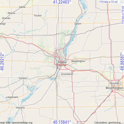
| Map corner | latitude | longitude |
|---|---|---|
| Upper-left | 41.22463°, | -90.29212° |
| Center: | 40.69365°, | -89.58899° |
| Lower-right: | 40.15841°, | -88.88587° |
| Map W x H: | 118.6×118.6 km | = 73.7×73.7mi |
| max Lat: | 71.29058° ⇑38.5% North |
| Peoria: | 40.69365° |
| min Lat: | ⇓61.5% South 19.06759° |
| min Long | Peoria | max Long |
| -171.73463° | -89.58899° | -66.98998° |
| W 42.2%⇐ | ⇒57.8% E |
Elevation
Elevation of Peoria is 165 m = 541 ft, and this is 129.8 m = 426 ft below average elevation for this country.
| Max E: |
3189 m = 10463 ft | 58% |
| Avg. | 294.8 m = 967 ft | |
| Peoria | 165 m = 541 ft | |
Min E: |
-60 m = -197 ft | 42% |
See also: Peoria elevation on elevation.city.
Geographical zone
Peoria is located in North temperate zone (between Tropic of Cancer and the Arctic Circle). Distance of this Northern Tropic circle is 1918.8 km =1192.3 mi to South.| Distance of | km | miles | from Peoria |
|---|---|---|---|
| North Pole | 5482.4 | 3406.6 | to North |
| Arctic Circle | 2876.5 | 1787.4 | to North |
| Tropic Cancer | 1918.8 | 1192.3 | to South |
| Equator | 4524.7 | 2811.5 | to South |


Nearby cities:
15 places around Peoria: (largest is in red/bold)
• Bartonville
7.2 km =4.5 mi,  227°
227°
• Bellevue
7.7 km =4.8 mi,  262°
262°
• Creve Coeur
5.2 km =3.2 mi,  182°
182°
• East Peoria
3.1 km =1.9 mi,  166°
166°
• Germantown Hills
13 km =8.1 mi,  51°
51°
• Hanna City
17.4 km =10.8 mi,  269°
269°
• Lake Camelot
14.7 km =9.1 mi,  241°
241°
• Marquette Heights
8.5 km =5.3 mi,  186°
186°
• Morton
14.2 km =8.8 mi,  129°
129°
• North Pekin
9.2 km =5.7 mi,  197°
197°
• North Peoria
2.7 km =1.7 mi,  8°
8°
• Pekin
14.7 km =9.1 mi, 197°
• Peoria Heights
6.1 km =3.8 mi, 11°
• Washington
15.4 km =9.6 mi,  85°
85°
• West Peoria
3.3 km =2.1 mi, 267°
Sources, notices
• [Note1] Compared only with cities in United States existing in our database
• [Src1] Map data: © OpenStreetMap contributors (CC-BY-SA)
• [Src2] Other city data from geonames.org with taken over terms of usage.
• [Src3] Geographical zone / Annual Mean Temperature by Robert A. Rohde @ Wikipedia
