Greenland geodata
Greenland (New Hampshire) is a populated place; located in United States in America/New_York (GMT-4) time zone. With population of 3,417 people, there are 8966 cities with bigger population in this country. Compared to other cities in United States, 83.6% of cities are located further ↓South; 97.9% of cities are located further ←West and 87.8% of cities have higher elevation than Greenland. Note1
Administrative division(s):
- Level 1: New Hampshire
- Level 2: Rockingham County
- Level 3: Town of Greenland


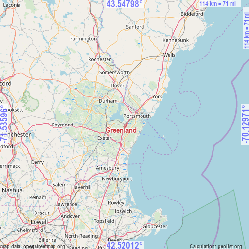
Greenland GPS coordinates[2]
43° 2' 10.32" North, 70° 49' 58.188" West
| Map corner | latitude | longitude |
|---|---|---|
| Upper-left | 43.54798°, | -71.53596° |
| Center: | 43.0362°, | -70.83283° |
| Lower-right: | 42.52012°, | -70.12971° |
| Map W x H: | 114.3×114.3 km | = 71×71mi |
| max Lat: | 71.29058° ⇑16.4% North |
| Greenland: | 43.0362° |
| min Lat: | ⇓83.6% South 19.06759° |
| min Long | Greenland | max Long |
| -171.73463° | -70.83283° | -66.98998° |
| W 97.9%⇐ | ⇒2.1% E |
Elevation
Elevation of Greenland is 21 m = 69 ft, and this is 273.8 m = 898 ft below average elevation for this country.
| Max E: |
3189 m = 10463 ft | 87.8% |
| Avg. | 294.8 m = 967 ft | |
| Greenland | 21 m = 69 ft | |
Min E: |
-60 m = -197 ft | 12.2% |
See also: United States elevation on elevation.city.
Geographical zone
Greenland is located in North temperate zone (between Tropic of Cancer and the Arctic Circle). Distance of this Northern Tropic circle is 2179.3 km =1354.2 mi to South.| Distance of | km | miles | from Greenland |
|---|---|---|---|
| North Pole | 5221.9 | 3244.7 | to North |
| Arctic Circle | 2616 | 1625.5 | to North |
| Tropic Cancer | 2179.3 | 1354.2 | to South |
| Equator | 4785.2 | 2973.4 | to South |


Nearby cities:
15 places around Greenland: (largest is in red/bold)
• Durham
13.3 km =8.3 mi,  325°
325°
• Eliot
13.3 km =8.3 mi,  11°
11°
• Exeter
11.2 km =7 mi,  236°
236°
• Hampton
11 km =6.8 mi,  182°
182°
• Hampton Falls
13.6 km =8.5 mi,  190°
190°
• Kittery
9.7 km =6 mi,  53°
53°
• Kittery Point
11.4 km =7.1 mi,  62°
62°
• New Castle
10.3 km =6.4 mi,  67°
67°
• Newington
7.1 km =4.4 mi,  359°
359°
• Newmarket
9.8 km =6.1 mi,  301°
301°
• North Hampton
7.1 km =4.4 mi, 177°
• Portsmouth
7.6 km =4.7 mi, 53°
• Rye
5.6 km =3.5 mi,  116°
116°
• South Eliot
9.2 km =5.7 mi,  29°
29°
• Stratham Station
5.4 km =3.4 mi,  290°
290°
Sources, notices
• [Note1] Compared only with cities in United States existing in our database
• [Src1] Map data: © OpenStreetMap contributors (CC-BY-SA)
• [Src2] Other city data from geonames.org with taken over terms of usage.
• [Src3] Geographical zone / Annual Mean Temperature by Robert A. Rohde @ Wikipedia
