North Randall geodata
North Randall (Ohio) is a populated place; located in United States in America/New_York (GMT-4) time zone. With population of 1,007 people, there are 16238 cities with bigger population in this country. Compared to other cities in United States, 70.1% of cities are located further ↓South; 67.5% of cities are located further ←West and 75.5% of cities have lower elevation than North Randall. Note1
Administrative division(s):
- Level 1: Ohio
- Level 2: Cuyahoga County
- Level 3: Village of North Randall


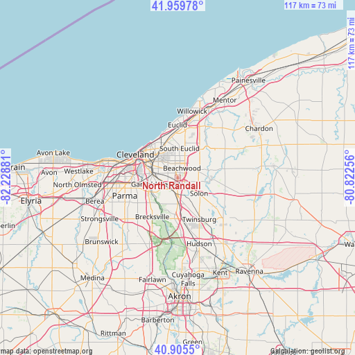
North Randall GPS coordinates[2]
41° 26' 5.208" North, 81° 31' 32.448" West
| Map corner | latitude | longitude |
|---|---|---|
| Upper-left | 41.95978°, | -82.22881° |
| Center: | 41.43478°, | -81.52568° |
| Lower-right: | 40.9055°, | -80.82256° |
| Map W x H: | 117.2×117.2 km | = 72.8×72.8mi |
| max Lat: | 71.29058° ⇑29.9% North |
| North Randall: | 41.43478° |
| min Lat: | ⇓70.1% South 19.06759° |
| min Long | North Randall | max Long |
| -171.73463° | -81.52568° | -66.98998° |
| W 67.5%⇐ | ⇒32.5% E |
Elevation
Elevation of North Randall is 317 m = 1040 ft, and this is 22.2 m = 73 ft above average elevation for this country.
| Max E: |
3189 m = 10463 ft | 24.5% |
| North Randall | 317 m 1040 ft | |
| Avg. | 294.8 m = 967 ft | |
Min E: |
-60 m = -197 ft | 75.5% |
See also: United States elevation on elevation.city.
Geographical zone
North Randall is located in North temperate zone (between Tropic of Cancer and the Arctic Circle). Distance of this Northern Tropic circle is 2001.2 km =1243.5 mi to South.| Distance of | km | miles | from North Randall |
|---|---|---|---|
| North Pole | 5399.9 | 3355.3 | to North |
| Arctic Circle | 2794.1 | 1736.2 | to North |
| Tropic Cancer | 2001.2 | 1243.5 | to South |
| Equator | 4607.1 | 2862.7 | to South |


Nearby cities:
15 places around North Randall: (largest is in red/bold)
• Beachwood
3.6 km =2.2 mi,  23°
23°
• Bedford
4.7 km =2.9 mi,  191°
191°
• Bedford Heights
2 km =1.2 mi,  184°
184°
• Garfield Heights
7 km =4.3 mi,  253°
253°
• Glendale
4.4 km =2.7 mi,  198°
198°
• Highland Hills
1.6 km =1 mi, 20°
• Maple Heights
4 km =2.5 mi,  237°
237°
• Oakwood
7.9 km =4.9 mi,  169°
169°
• Orange
4.1 km =2.5 mi,  66°
66°
• Pepper Pike
7.1 km =4.4 mi,  46°
46°
• Shaker Heights
4.5 km =2.8 mi,  347°
347°
• University Heights
7.1 km =4.4 mi, 352°
• Walton Hills
8.2 km =5.1 mi, 201°
• Warrensville Heights
0.9 km =0.6 mi,  271°
271°
• Woodmere
4.8 km =3 mi, 50°
Sources, notices
• [Note1] Compared only with cities in United States existing in our database
• [Src1] Map data: © OpenStreetMap contributors (CC-BY-SA)
• [Src2] Other city data from geonames.org with taken over terms of usage.
• [Src3] Geographical zone / Annual Mean Temperature by Robert A. Rohde @ Wikipedia
