Back Mountain geodata
Back Mountain (Pennsylvania) is a populated place; located in United States in America/New_York (GMT-4) time zone. With population of 26,973 people, there are 1859 cities with bigger population in this country. Compared to other cities in United States, 69.2% of cities are located further ↓South; 84% of cities are located further ←West and 83.1% of cities have lower elevation than Back Mountain. Note1
Administrative division(s):
- Level 1: Pennsylvania
- Level 2: Luzerne County
- Level 3: Township of Dallas


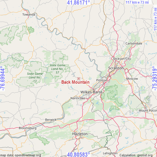
Back Mountain GPS coordinates[2]
41° 20' 9.276" North, 75° 59' 46.716" West
| Map corner | latitude | longitude |
|---|---|---|
| Upper-left | 41.86171°, | -76.69944° |
| Center: | 41.33591°, | -75.99631° |
| Lower-right: | 40.80583°, | -75.29319° |
| Map W x H: | 117.4×117.4 km | = 72.9×72.9mi |
| max Lat: | 71.29058° ⇑30.8% North |
| Back Mountain: | 41.33591° |
| min Lat: | ⇓69.2% South 19.06759° |
| min Long | Back Mountain | max Long |
| -171.73463° | -75.99631° | -66.98998° |
| W 84%⇐ | ⇒16% E |
Elevation
Elevation of Back Mountain is 392 m = 1286 ft, and this is 97.2 m = 319 ft above average elevation for this country.
| Max E: |
3189 m = 10463 ft | 16.9% |
| Back Mountain | 392 m 1286 ft | |
| Avg. | 294.8 m = 967 ft | |
Min E: |
-60 m = -197 ft | 83.1% |
See also: United States elevation on elevation.city.
Geographical zone
Back Mountain is located in North temperate zone (between Tropic of Cancer and the Arctic Circle). Distance of this Northern Tropic circle is 1990.2 km =1236.7 mi to South.| Distance of | km | miles | from Back Mountain |
|---|---|---|---|
| North Pole | 5410.9 | 3362.2 | to North |
| Arctic Circle | 2805.1 | 1743 | to North |
| Tropic Cancer | 1990.2 | 1236.7 | to South |
| Equator | 4596.1 | 2855.9 | to South |


Nearby cities:
15 places around Back Mountain: (largest is in red/bold)
• Chase
6.3 km =3.9 mi,  153°
153°
• Courtdale
9.4 km =5.8 mi,  131°
131°
• Dallas
2.8 km =1.7 mi,  89°
89°
• Edwardsville
10 km =6.2 mi,  137°
137°
• Forty Fort
11.7 km =7.3 mi,  122°
122°
• Harveys Lake
5.8 km =3.6 mi,  335°
335°
• Larksville
11.5 km =7.1 mi, 151°
• Luzerne
9.7 km =6 mi, 125°
• Noxen
10.8 km =6.7 mi,  331°
331°
• Plymouth
11.5 km =7.1 mi,  157°
157°
• Pringle
10.5 km =6.5 mi, 127°
• Shavertown
5.2 km =3.2 mi,  110°
110°
• Silkworth
10.3 km =6.4 mi,  226°
226°
• Swoyersville
11.3 km =7 mi, 115°
• Trucksville
6.4 km =4 mi, 123°
Sources, notices
• [Note1] Compared only with cities in United States existing in our database
• [Src1] Map data: © OpenStreetMap contributors (CC-BY-SA)
• [Src2] Other city data from geonames.org with taken over terms of usage.
• [Src3] Geographical zone / Annual Mean Temperature by Robert A. Rohde @ Wikipedia
