Elim geodata
Elim (Pennsylvania) is a populated place; located in United States in America/New_York (GMT-4) time zone. With population of 3,727 people, there are 8553 cities with bigger population in this country. Compared to other cities in United States, 56.6% of cities are located further ↓South; 75.8% of cities are located further ←West and 88% of cities have lower elevation than Elim. Note1
Administrative division(s):
- Level 1: Pennsylvania
- Level 2: Cambria County
- Level 3: Township of Upper Yoder


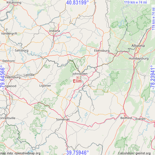
Elim GPS coordinates[2]
40° 17' 52.26" North, 78° 56' 33.108" West
| Map corner | latitude | longitude |
|---|---|---|
| Upper-left | 40.83199°, | -79.64566° |
| Center: | 40.29785°, | -78.94253° |
| Lower-right: | 39.75946°, | -78.23941° |
| Map W x H: | 119.3×119.3 km | = 74.1×74.1mi |
| max Lat: | 71.29058° ⇑43.4% North |
| Elim: | 40.29785° |
| min Lat: | ⇓56.6% South 19.06759° |
| min Long | Elim | max Long |
| -171.73463° | -78.94253° | -66.98998° |
| W 75.8%⇐ | ⇒24.2% E |
Elevation
Elevation of Elim is 506 m = 1660 ft, and this is 211.2 m = 693 ft above average elevation for this country.
| Max E: |
3189 m = 10463 ft | 12% |
| Elim | 506 m 1660 ft | |
| Avg. | 294.8 m = 967 ft | |
Min E: |
-60 m = -197 ft | 88% |
See also: United States elevation on elevation.city.
Geographical zone
Elim is located in North temperate zone (between Tropic of Cancer and the Arctic Circle). Distance of this Northern Tropic circle is 1874.8 km =1164.9 mi to South.| Distance of | km | miles | from Elim |
|---|---|---|---|
| North Pole | 5526.4 | 3433.9 | to North |
| Arctic Circle | 2920.5 | 1814.7 | to North |
| Tropic Cancer | 1874.8 | 1164.9 | to South |
| Equator | 4480.7 | 2784.2 | to South |


Nearby cities:
15 places around Elim: (largest is in red/bold)
• Belmont
4.7 km =2.9 mi,  104°
104°
• Brownstown
4.1 km =2.5 mi,  5°
5°
• Conemaugh
4.3 km =2.7 mi,  42°
42°
• Dale
3.7 km =2.3 mi,  62°
62°
• Davidsville
7.9 km =4.9 mi,  176°
176°
• East Conemaugh
7.5 km =4.7 mi, 41°
• Ferndale
2.6 km =1.6 mi,  112°
112°
• Geistown
6.3 km =3.9 mi, 97°
• Johnstown
3.7 km =2.3 mi,  28°
28°
• Lorain
4.3 km =2.7 mi,  88°
88°
• Oakland
4.8 km =3 mi,  78°
78°
• Paint
10 km =6.2 mi,  127°
127°
• Scalp Level
9.6 km =6 mi,  123°
123°
• Southmont
1.5 km =0.9 mi, 13°
• Westmont
2.1 km =1.3 mi,  338°
338°
Sources, notices
• [Note1] Compared only with cities in United States existing in our database
• [Src1] Map data: © OpenStreetMap contributors (CC-BY-SA)
• [Src2] Other city data from geonames.org with taken over terms of usage.
• [Src3] Geographical zone / Annual Mean Temperature by Robert A. Rohde @ Wikipedia
