Vail geodata
Vail (Colorado) is a populated place; located in United States in America/Denver (GMT-6) time zone. With population of 5,461 people, there are 6795 cities with bigger population in this country. Compared to other cities in United States, 50.2% of cities are located further ↓South; 84.3% of cities are located further →East and 99.9% of cities have lower elevation than Vail. Note1


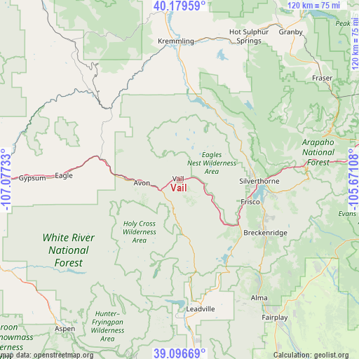
Vail GPS coordinates[2]
39° 38' 24.936" North, 106° 22' 27.12" West
| Map corner | latitude | longitude |
|---|---|---|
| Upper-left | 40.17959°, | -107.07733° |
| Center: | 39.64026°, | -106.3742° |
| Lower-right: | 39.09669°, | -105.67108° |
| Map W x H: | 120.4×120.4 km | = 74.8×74.8mi |
| max Lat: | 71.29058° ⇑49.8% North |
| Vail: | 39.64026° |
| min Lat: | ⇓50.2% South 19.06759° |
| min Long | Vail | max Long |
| -171.73463° | -106.3742° | -66.98998° |
| W 15.7%⇐ | ⇒84.3% E |
Elevation
Elevation of Vail is 2501 m = 8205 ft, and this is 2206.2 m = 7238 ft above average elevation for this country.
| Max E: |
3189 m = 10463 ft | 0.099999999999994% |
| Vail | 2501 m 8205 ft | |
| Avg. | 294.8 m = 967 ft | |
Min E: |
-60 m = -197 ft | 99.9% |
See also: United States elevation on elevation.city.
Geographical zone
Vail is located in North temperate zone (between Tropic of Cancer and the Arctic Circle). Distance of this Northern Tropic circle is 1801.7 km =1119.5 mi to South.| Distance of | km | miles | from Vail |
|---|---|---|---|
| North Pole | 5599.5 | 3479.4 | to North |
| Arctic Circle | 2993.6 | 1860.1 | to North |
| Tropic Cancer | 1801.7 | 1119.5 | to South |
| Equator | 4407.6 | 2738.8 | to South |


Nearby cities:
15 places around Vail: (largest is in red/bold)
• Avon
12.7 km =7.9 mi,  265°
265°
• Blue River
36.7 km =22.8 mi,  129°
129°
• Breckenridge
33.8 km =21 mi,  121°
121°
• Dillon
28.4 km =17.6 mi,  92°
92°
• Eagle
38.9 km =24.2 mi, 272°
• Edwards
18.8 km =11.7 mi, 271°
• Frisco
24.8 km =15.4 mi,  107°
107°
• Gypsum
49.5 km =30.8 mi, 270°
• Hot Sulphur Springs
53.4 km =33.2 mi,  25°
25°
• Keystone
33.5 km =20.8 mi,  97°
97°
• Kremmling
46.6 km =29 mi,  358°
358°
• Leadville
43.9 km =27.3 mi,  170°
170°
• Leadville North
43 km =26.7 mi, 171°
• Minturn
7.7 km =4.8 mi,  219°
219°
• Silverthorne
25.7 km =16 mi, 92°
Sources, notices
• [Note1] Compared only with cities in United States existing in our database
• [Src1] Map data: © OpenStreetMap contributors (CC-BY-SA)
• [Src2] Other city data from geonames.org with taken over terms of usage.
• [Src3] Geographical zone / Annual Mean Temperature by Robert A. Rohde @ Wikipedia
