Quinhagak geodata
Quinhagak (Alaska) is a populated place; located in United States in America/Anchorage (GMT-8) time zone. With population of 706 people, there are 18614 cities with bigger population in this country. Compared to other cities in United States, 99.6% of cities are located further ↓South; 99.9% of cities are located further →East and 98.1% of cities have higher elevation than Quinhagak. Note1


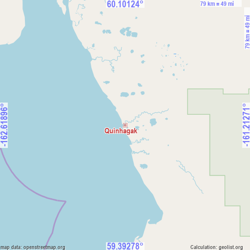
Quinhagak GPS coordinates[2]
59° 44' 56.004" North, 161° 54' 56.988" West
| Map corner | latitude | longitude |
|---|---|---|
| Upper-left | 60.10124°, | -162.61896° |
| Center: | 59.74889°, | -161.91583° |
| Lower-right: | 59.39278°, | -161.21271° |
| Map W x H: | 78.8×78.8 km | = 49×49mi |
| max Lat: | 71.29058° ⇑0.4% North |
| Quinhagak: | 59.74889° |
| min Lat: | ⇓99.6% South 19.06759° |
| min Long | Quinhagak | max Long |
| -171.73463° | -161.91583° | -66.98998° |
| W 0.1%⇐ | ⇒99.9% E |
Elevation
Elevation of Quinhagak is 5 m = 16 ft, and this is 289.8 m = 951 ft below average elevation for this country.
| Max E: |
3189 m = 10463 ft | 98.1% |
| Avg. | 294.8 m = 967 ft | |
| Quinhagak | 5 m = 16 ft | |
Min E: |
-60 m = -197 ft | 1.9% |
See also: United States elevation on elevation.city.
Geographical zone
Quinhagak is located in North temperate zone (between Tropic of Cancer and the Arctic Circle). Distance of this North polar circle is 757.7 km =470.8 mi to North.| Distance of | km | miles | from Quinhagak |
|---|---|---|---|
| North Pole | 3363.6 | 2090 | to North |
| Arctic Circle | 757.7 | 470.8 | to North |
| Tropic Cancer | 4037.5 | 2508.8 | to South |
| Equator | 6643.5 | 4128.1 | to South |


Nearby cities:
15 places around Quinhagak: (largest is in red/bold)
• Akiachak
131.8 km =81.9 mi,  11°
11°
• Alakanuk
357.3 km =222 mi,  336°
336°
• Aniak
241.6 km =150.1 mi,  32°
32°
• Bethel
116.3 km =72.3 mi,  4°
4°
• Dillingham
211 km =131.1 mi,  111°
111°
• Emmonak
364.4 km =226.4 mi, 337°
• Kasigluk
131.7 km =81.8 mi,  345°
345°
• Kipnuk
120.6 km =74.9 mi,  280°
280°
• Kwethluk
121.1 km =75.2 mi, 12°
• Mountain Village
277.7 km =172.6 mi, 339°
• Nunapitchuk
131.1 km =81.5 mi, 346°
• Pilot Station
249 km =154.7 mi, 347°
• St. Mary's
265.2 km =164.8 mi, 345°
• Togiak
115.9 km =72 mi,  131°
131°
• Toksook Bay
196.8 km =122.3 mi,  296°
296°
Sources, notices
• [Note1] Compared only with cities in United States existing in our database
• [Src1] Map data: © OpenStreetMap contributors (CC-BY-SA)
• [Src2] Other city data from geonames.org with taken over terms of usage.
• [Src3] Geographical zone / Annual Mean Temperature by Robert A. Rohde @ Wikipedia
