Warrane geodata
Warrane (Tasmania) is a section of populated place; located in Australia in Australia/Hobart (GMT+11) time zone. With population of 2,426 people, there are 2613 cities with bigger population in this country. Compared to other cities in Australia, 99% of cities are located further ↑North; 50.3% of cities are located further →East and 51.1% of cities have higher elevation than Warrane. Note1


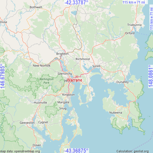
Warrane GPS coordinates[2]
42° 51' 19.656" South, 147° 22' 58.692" East
| Map corner | latitude | longitude |
|---|---|---|
| Upper-left | -42.33787°, | 146.67985° |
| Center: | -42.85546°, | 147.38297° |
| Lower-right: | -43.36875°, | 148.0861° |
| Map W x H: | 114.6×114.6 km | = 71.2×71.2mi |
| max Lat: | -10.58257° ⇑99% North |
| Warrane: | -42.85546° |
| min Lat: | ⇓1% South -43.31423° |
| min Long | Warrane | max Long |
| 113.53327° | 147.38297° | 153.61246° |
| W 49.7%⇐ | ⇒50.3% E |
Elevation
Elevation of Warrane is 44 m = 144 ft, and this is 78 m = 256 ft below average elevation for this country.
| Max E: |
1715 m = 5627 ft | 51.1% |
| Avg. | 122 m = 400 ft | |
| Warrane | 44 m = 144 ft | |
Min E: |
-2 m = -7 ft | 48.9% |
See also: Australia elevation on elevation.city.
Geographical zone
Warrane is located in South temperate zone (between Tropic of Capricorn and the Antarctic Circle). Distance of this Southern Tropic circle is 2159.2 km =1341.7 mi to North.| Distance of | km | miles | from Warrane |
|---|---|---|---|
| Equator | 4765.1 | 2960.9 | to North |
| Tropic Capricorn | 2159.2 | 1341.7 | to North |
| Antarctic Circle | 2636.1 | 1638 | to South |
| South Pole | 5242 | 3257.2 | to South |


Nearby cities:
15 places around Warrane: (largest is in red/bold)
• Battery Point
5.6 km =3.5 mi,  226°
226°
• Bellerive
2.5 km =1.6 mi,  204°
204°
• Cambridge
6 km =3.7 mi,  65°
65°
• Geilston Bay
4.2 km =2.6 mi,  313°
313°
• Glebe
5 km =3.1 mi,  244°
244°
• Hobart
5.1 km =3.2 mi, 238°
• Hobart city centre
5.6 km =3.5 mi, 236°
• Howrah
4 km =2.5 mi,  152°
152°
• Lindisfarne
1.9 km =1.2 mi,  294°
294°
• Montagu Bay
2.3 km =1.4 mi, 243°
• Mornington
1.5 km =0.9 mi,  122°
122°
• New Town
6.1 km =3.8 mi,  267°
267°
• North Hobart
5.8 km =3.6 mi,  249°
249°
• Risdon Vale
5.2 km =3.2 mi,  335°
335°
• Rosny
2.7 km =1.7 mi, 231°
Sources, notices
• [Note1] Compared only with cities in Australia existing in our database
• [Src1] Map data: © OpenStreetMap contributors (CC-BY-SA)
• [Src2] Other city data from geonames.org with taken over terms of usage.
• [Src3] Geographical zone / Annual Mean Temperature by Robert A. Rohde @ Wikipedia
