Vaucluse geodata
Vaucluse (New South Wales) is a section of populated place; located in Australia in Australia/Sydney (GMT+11) time zone. With population of 9,205 people, there are 679 cities with bigger population in this country. Compared to other cities in Australia, 53.9% of cities are located further ↑North; 75.3% of cities are located further ←West and 57.4% of cities have lower elevation than Vaucluse. Note1


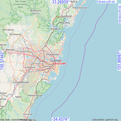
Vaucluse GPS coordinates[2]
33° 51' 19.764" South, 151° 16' 39.144" East
| Map corner | latitude | longitude |
|---|---|---|
| Upper-left | -33.26959°, | 150.57442° |
| Center: | -33.85549°, | 151.27754° |
| Lower-right: | -34.4374°, | 151.98067° |
| Map W x H: | 129.8×129.8 km | = 80.7×80.7mi |
| max Lat: | -10.58257° ⇑53.9% North |
| Vaucluse: | -33.85549° |
| min Lat: | ⇓46.1% South -43.31423° |
| min Long | Vaucluse | max Long |
| 113.53327° | 151.27754° | 153.61246° |
| W 75.3%⇐ | ⇒24.7% E |
Elevation
Elevation of Vaucluse is 58 m = 190 ft, and this is 64 m = 210 ft below average elevation for this country.
| Max E: |
1715 m = 5627 ft | 42.6% |
| Avg. | 122 m = 400 ft | |
| Vaucluse | 58 m = 190 ft | |
Min E: |
-2 m = -7 ft | 57.4% |
See also: Australia elevation on elevation.city.
Geographical zone
Vaucluse is located in South temperate zone (between Tropic of Capricorn and the Antarctic Circle). Distance of this Southern Tropic circle is 1158.5 km =719.9 mi to North.| Distance of | km | miles | from Vaucluse |
|---|---|---|---|
| Equator | 3764.4 | 2339.1 | to North |
| Tropic Capricorn | 1158.5 | 719.9 | to North |
| Antarctic Circle | 3636.8 | 2259.8 | to South |
| South Pole | 6242.7 | 3879 | to South |


Nearby cities:
15 places around Vaucluse: (largest is in red/bold)
• Bellevue Hill
3.6 km =2.2 mi,  223°
223°
• Bondi
4.5 km =2.8 mi,  195°
195°
• Bondi Beach
3.9 km =2.4 mi,  178°
178°
• Bondi Junction
5 km =3.1 mi,  214°
214°
• Darling Point
3.9 km =2.4 mi,  244°
244°
• Double Bay
4 km =2.5 mi,  231°
231°
• Dover Heights
1.7 km =1.1 mi,  174°
174°
• Edgecliff
4.6 km =2.9 mi, 234°
• Mosman
4 km =2.5 mi,  297°
297°
• North Bondi
3.6 km =2.2 mi, 175°
• Point Piper
2.8 km =1.7 mi, 243°
• Potts Point
4.9 km =3 mi,  254°
254°
• Rose Bay
1.6 km =1 mi, 203°
• Tamarama
4.8 km =3 mi,  187°
187°
• Watsons Bay
1.4 km =0.9 mi,  20°
20°
Sources, notices
• [Note1] Compared only with cities in Australia existing in our database
• [Src1] Map data: © OpenStreetMap contributors (CC-BY-SA)
• [Src2] Other city data from geonames.org with taken over terms of usage.
• [Src3] Geographical zone / Annual Mean Temperature by Robert A. Rohde @ Wikipedia
