Gladesville geodata
Gladesville (New South Wales) is a section of populated place; located in Australia in Australia/Sydney (GMT+11) time zone. With population of 11,673 people, there are 444 cities with bigger population in this country. Compared to other cities in Australia, 53% of cities are located further ↑North; 71.2% of cities are located further ←West and 63.7% of cities have higher elevation than Gladesville. Note1


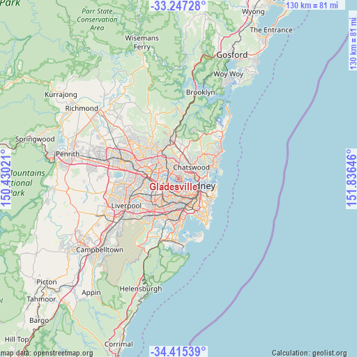
Gladesville GPS coordinates[2]
33° 49' 59.988" South, 151° 7' 59.988" East
| Map corner | latitude | longitude |
|---|---|---|
| Upper-left | -33.24728°, | 150.43021° |
| Center: | -33.83333°, | 151.13333° |
| Lower-right: | -34.41539°, | 151.83646° |
| Map W x H: | 129.9×129.9 km | = 80.7×80.7mi |
| max Lat: | -10.58257° ⇑53% North |
| Gladesville: | -33.83333° |
| min Lat: | ⇓47% South -43.31423° |
| min Long | Gladesville | max Long |
| 113.53327° | 151.13333° | 153.61246° |
| W 71.2%⇐ | ⇒28.8% E |
Elevation
Elevation of Gladesville is 28 m = 92 ft, and this is 94 m = 308 ft below average elevation for this country.
| Max E: |
1715 m = 5627 ft | 63.7% |
| Avg. | 122 m = 400 ft | |
| Gladesville | 28 m = 92 ft | |
Min E: |
-2 m = -7 ft | 36.3% |
See also: Australia elevation on elevation.city.
Geographical zone
Gladesville is located in South temperate zone (between Tropic of Capricorn and the Antarctic Circle). Distance of this Southern Tropic circle is 1156 km =718.3 mi to North.| Distance of | km | miles | from Gladesville |
|---|---|---|---|
| Equator | 3761.9 | 2337.5 | to North |
| Tropic Capricorn | 1156 | 718.3 | to North |
| Antarctic Circle | 3639.3 | 2261.4 | to South |
| South Pole | 6245.1 | 3880.5 | to South |


Nearby cities:
15 places around Gladesville: (largest is in red/bold)
• Abbotsford
1.8 km =1.1 mi,  195°
195°
• Breakfast Point
2.3 km =1.4 mi,  243°
243°
• Cabarita
2.2 km =1.4 mi,  225°
225°
• Chiswick
1.9 km =1.2 mi,  165°
165°
• Drummoyne
2.9 km =1.8 mi,  136°
136°
• East Ryde
2.6 km =1.6 mi,  356°
356°
• Hunters Hill
1.2 km =0.7 mi,  95°
95°
• Huntleys Cove
0.7 km =0.4 mi, 141°
• Lane Cove West
2.5 km =1.6 mi,  41°
41°
• Mortlake
2.6 km =1.6 mi,  247°
247°
• Putney
2.6 km =1.6 mi,  287°
287°
• Riverview
2.9 km =1.8 mi,  70°
70°
• Russell Lea
2.9 km =1.8 mi, 165°
• Tennyson Point
1.5 km =0.9 mi,  276°
276°
• Wareemba
2.8 km =1.7 mi,  184°
184°
Sources, notices
• [Note1] Compared only with cities in Australia existing in our database
• [Src1] Map data: © OpenStreetMap contributors (CC-BY-SA)
• [Src2] Other city data from geonames.org with taken over terms of usage.
• [Src3] Geographical zone / Annual Mean Temperature by Robert A. Rohde @ Wikipedia
