Pacific Heights geodata
Pacific Heights (Queensland) is a section of populated place; located in Australia in Australia/Brisbane (GMT+10) time zone. With population of 892 people, there are 3985 cities with bigger population in this country. Compared to other cities in Australia, 92.4% of cities are located further ↓South; 61.3% of cities are located further ←West and 56.9% of cities have lower elevation than Pacific Heights. Note1


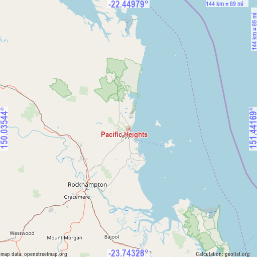
Pacific Heights GPS coordinates[2]
23° 5' 53.124" South, 150° 44' 18.816" East
| Map corner | latitude | longitude |
|---|---|---|
| Upper-left | -22.44979°, | 150.03544° |
| Center: | -23.09809°, | 150.73856° |
| Lower-right: | -23.74328°, | 151.44169° |
| Map W x H: | 143.8×143.8 km | = 89.4×89.4mi |
| max Lat: | -10.58257° ⇑7.6% North |
| Pacific Heights: | -23.09809° |
| min Lat: | ⇓92.4% South -43.31423° |
| min Long | Pacific Heights | max Long |
| 113.53327° | 150.73856° | 153.61246° |
| W 61.3%⇐ | ⇒38.7% E |
Elevation
Elevation of Pacific Heights is 57 m = 187 ft, and this is 65 m = 213 ft below average elevation for this country.
| Max E: |
1715 m = 5627 ft | 43.1% |
| Avg. | 122 m = 400 ft | |
| Pacific Heights | 57 m = 187 ft | |
Min E: |
-2 m = -7 ft | 56.9% |
See also: Australia elevation on elevation.city.
Geographical zone
Pacific Heights is located in South Torrid zone (between Equator and Tropic of Capricorn). Distance of this Southern Tropic circle is 37.7 km =23.4 mi to South.| Distance of | km | miles | from Pacific Heights |
|---|---|---|---|
| Equator | 2568.3 | 1595.9 | to North |
| Tropic Capricorn | 37.7 | 23.4 | to South |
| Antarctic Circle | 4832.9 | 3003 | to South |
| South Pole | 7438.8 | 4622.3 | to South |


Nearby cities:
15 places around Pacific Heights: (largest is in red/bold)
• Barlows Hill
1.2 km =0.7 mi,  147°
147°
• Barmaryee
4.5 km =2.8 mi,  209°
209°
• Bondoola
9.5 km =5.9 mi,  216°
216°
• Bungundarra
11.6 km =7.2 mi,  298°
298°
• Cooee Bay
5.6 km =3.5 mi,  155°
155°
• Farnborough
0.8 km =0.5 mi,  21°
21°
• Inverness
2.5 km =1.6 mi, 218°
• Lammermoor
7.3 km =4.5 mi, 161°
• Mulambin
11.2 km =7 mi, 152°
• Rosslyn
8.6 km =5.3 mi, 151°
• Tanby
15.1 km =9.4 mi,  175°
175°
• Taranganba
5.3 km =3.3 mi,  165°
165°
• Taroomball
8.3 km =5.2 mi, 176°
• Yeppoon
3.2 km =2 mi, 170°
• Yeppoon city centre
3.5 km =2.2 mi, 183°
Sources, notices
• [Note1] Compared only with cities in Australia existing in our database
• [Src1] Map data: © OpenStreetMap contributors (CC-BY-SA)
• [Src2] Other city data from geonames.org with taken over terms of usage.
• [Src3] Geographical zone / Annual Mean Temperature by Robert A. Rohde @ Wikipedia
