McKail geodata
McKail (Western Australia) is a populated place; located in Australia in Australia/Perth (GMT+8) time zone. With population of 3,358 people, there are 2045 cities with bigger population in this country. Compared to other cities in Australia, 70.9% of cities are located further ↑North; 90.1% of cities are located further →East and 61.7% of cities have lower elevation than McKail. Note1


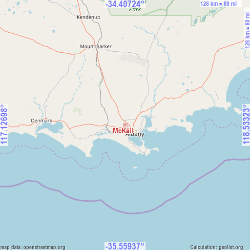
McKail GPS coordinates[2]
34° 59' 7.188" South, 117° 49' 48.36" East
| Map corner | latitude | longitude |
|---|---|---|
| Upper-left | -34.40724°, | 117.12698° |
| Center: | -34.98533°, | 117.8301° |
| Lower-right: | -35.55937°, | 118.53323° |
| Map W x H: | 128.1×128.1 km | = 79.6×79.6mi |
| max Lat: | -10.58257° ⇑70.9% North |
| McKail: | -34.98533° |
| min Lat: | ⇓29.1% South -43.31423° |
| min Long | McKail | max Long |
| 113.53327° | 117.8301° | 153.61246° |
| W 9.9%⇐ | ⇒90.1% E |
Elevation
Elevation of McKail is 69 m = 226 ft, and this is 53 m = 174 ft below average elevation for this country.
| Max E: |
1715 m = 5627 ft | 38.3% |
| Avg. | 122 m = 400 ft | |
| McKail | 69 m = 226 ft | |
Min E: |
-2 m = -7 ft | 61.7% |
See also: Australia elevation on elevation.city.
Geographical zone
McKail is located in South temperate zone (between Tropic of Capricorn and the Antarctic Circle). Distance of this Southern Tropic circle is 1284.1 km =797.9 mi to North.| Distance of | km | miles | from McKail |
|---|---|---|---|
| Equator | 3890 | 2417.1 | to North |
| Tropic Capricorn | 1284.1 | 797.9 | to North |
| Antarctic Circle | 3511.2 | 2181.8 | to South |
| South Pole | 6117.1 | 3801 | to South |


Nearby cities:
15 places around McKail: (largest is in red/bold)
• Albany
6.7 km =4.2 mi,  133°
133°
• Albany city centre
6.6 km =4.1 mi, 131°
• Centennial Park
5.7 km =3.5 mi, 125°
• Gledhow
2.3 km =1.4 mi,  187°
187°
• Lockyer
3.5 km =2.2 mi, 130°
• Milpara
3.2 km =2 mi,  93°
93°
• Mira Mar
7.3 km =4.5 mi,  117°
117°
• Mount Clarence
7.2 km =4.5 mi, 127°
• Mount Melville
5.6 km =3.5 mi,  137°
137°
• Orana
2.9 km =1.8 mi,  114°
114°
• Robinson
4.8 km =3 mi,  175°
175°
• Spencer Park
6.7 km =4.2 mi, 109°
• Warrenup
1.9 km =1.2 mi,  55°
55°
• Willyung
6.5 km =4 mi,  43°
43°
• Yakamia
4.9 km =3 mi, 115°
Sources, notices
• [Note1] Compared only with cities in Australia existing in our database
• [Src1] Map data: © OpenStreetMap contributors (CC-BY-SA)
• [Src2] Other city data from geonames.org with taken over terms of usage.
• [Src3] Geographical zone / Annual Mean Temperature by Robert A. Rohde @ Wikipedia
