Taperoo geodata
Taperoo (South Australia) is a section of populated place; located in Australia in Australia/Adelaide (GMT+10.5) time zone. With population of 3,037 people, there are 2233 cities with bigger population in this country. Compared to other cities in Australia, 65.8% of cities are located further ↑North; 84.5% of cities are located further →East and 91.8% of cities have higher elevation than Taperoo. Note1


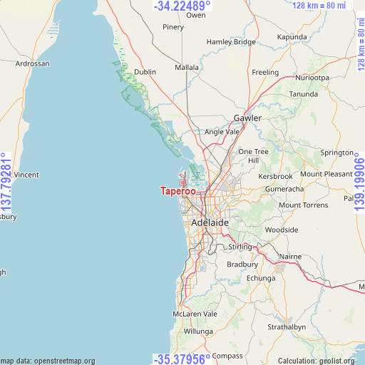
Taperoo GPS coordinates[2]
34° 48' 15.3" South, 138° 29' 45.348" East
| Map corner | latitude | longitude |
|---|---|---|
| Upper-left | -34.22489°, | 137.79281° |
| Center: | -34.80425°, | 138.49593° |
| Lower-right: | -35.37956°, | 139.19906° |
| Map W x H: | 128.4×128.4 km | = 79.8×79.8mi |
| max Lat: | -10.58257° ⇑65.8% North |
| Taperoo: | -34.80425° |
| min Lat: | ⇓34.2% South -43.31423° |
| min Long | Taperoo | max Long |
| 113.53327° | 138.49593° | 153.61246° |
| W 15.5%⇐ | ⇒84.5% E |
Elevation
Elevation of Taperoo is 8 m = 26 ft, and this is 114 m = 374 ft below average elevation for this country.
| Max E: |
1715 m = 5627 ft | 91.8% |
| Avg. | 122 m = 400 ft | |
| Taperoo | 8 m = 26 ft | |
Min E: |
-2 m = -7 ft | 8.2% |
See also: Australia elevation on elevation.city.
Geographical zone
Taperoo is located in South temperate zone (between Tropic of Capricorn and the Antarctic Circle). Distance of this Southern Tropic circle is 1264 km =785.4 mi to North.| Distance of | km | miles | from Taperoo |
|---|---|---|---|
| Equator | 3869.9 | 2404.6 | to North |
| Tropic Capricorn | 1264 | 785.4 | to North |
| Antarctic Circle | 3531.3 | 2194.2 | to South |
| South Pole | 6137.2 | 3813.5 | to South |


Nearby cities:
15 places around Taperoo: (largest is in red/bold)
• Birkenhead
3.6 km =2.2 mi,  177°
177°
• Ethelton
5 km =3.1 mi,  185°
185°
• Exeter
4 km =2.5 mi, 189°
• Glanville
4.5 km =2.8 mi, 186°
• Largs Bay
2.6 km =1.6 mi,  200°
200°
• Largs North
1.8 km =1.1 mi, 190°
• New Port
4.5 km =2.8 mi, 181°
• North Haven
1.8 km =1.1 mi,  347°
347°
• Osborne
0.7 km =0.4 mi,  15°
15°
• Peterhead
3 km =1.9 mi,  174°
174°
• Port Adelaide
4.7 km =2.9 mi, 172°
• Rosewater
5.8 km =3.6 mi,  156°
156°
• Semaphore
4.1 km =2.5 mi, 197°
• Semaphore Park
5.4 km =3.4 mi, 196°
• Semaphore South
5.3 km =3.3 mi, 196°
Sources, notices
• [Note1] Compared only with cities in Australia existing in our database
• [Src1] Map data: © OpenStreetMap contributors (CC-BY-SA)
• [Src2] Other city data from geonames.org with taken over terms of usage.
• [Src3] Geographical zone / Annual Mean Temperature by Robert A. Rohde @ Wikipedia
