Castle Hill geodata
Castle Hill (Queensland) is a populated place; located in Australia in Australia/Brisbane (GMT+10) time zone. With population of 896 people, there are 3978 cities with bigger population in this country. Compared to other cities in Australia, 95.5% of cities are located further ↓South; 54.2% of cities are located further →East and 82.9% of cities have lower elevation than Castle Hill. Note1


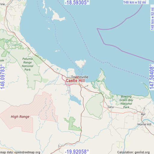
Castle Hill GPS coordinates[2]
19° 15' 29.376" South, 146° 48' 3.42" East
| Map corner | latitude | longitude |
|---|---|---|
| Upper-left | -18.59305°, | 146.09783° |
| Center: | -19.25816°, | 146.80095° |
| Lower-right: | -19.92058°, | 147.50408° |
| Map W x H: | 147.6×147.6 km | = 91.7×91.7mi |
| max Lat: | -10.58257° ⇑4.5% North |
| Castle Hill: | -19.25816° |
| min Lat: | ⇓95.5% South -43.31423° |
| min Long | Castle Hill | max Long |
| 113.53327° | 146.80095° | 153.61246° |
| W 45.8%⇐ | ⇒54.2% E |
Elevation
Elevation of Castle Hill is 217 m = 712 ft, and this is 95 m = 312 ft above average elevation for this country.
| Max E: |
1715 m = 5627 ft | 17.1% |
| Castle Hill | 217 m 712 ft | |
| Avg. | 122 m = 400 ft | |
Min E: |
-2 m = -7 ft | 82.9% |
See also: Australia elevation on elevation.city.
Geographical zone
Castle Hill is located in South Torrid zone (between Equator and Tropic of Capricorn). Distance of this Southern Tropic circle is 464.6 km =288.7 mi to South.| Distance of | km | miles | from Castle Hill |
|---|---|---|---|
| Equator | 2141.3 | 1330.5 | to North |
| Tropic Capricorn | 464.6 | 288.7 | to South |
| Antarctic Circle | 5259.9 | 3268.3 | to South |
| South Pole | 7865.8 | 4887.6 | to South |


Nearby cities:
15 places around Castle Hill: (largest is in red/bold)
• Belgian Gardens
1.6 km =1 mi,  335°
335°
• Currajong
3 km =1.9 mi,  229°
229°
• Garbutt
2.1 km =1.3 mi,  246°
246°
• Gulliver
4.2 km =2.6 mi,  217°
217°
• Hermit Park
3.3 km =2.1 mi,  180°
180°
• Hyde Park
2.1 km =1.3 mi,  192°
192°
• Mysterton
3.1 km =1.9 mi, 190°
• North Ward
1.7 km =1.1 mi,  57°
57°
• Pimlico
2.9 km =1.8 mi,  207°
207°
• Railway Estate
2.8 km =1.7 mi,  134°
134°
• Rosslea
4.5 km =2.8 mi, 183°
• Rowes Bay
2.4 km =1.5 mi,  328°
328°
• South Townsville
3.5 km =2.2 mi,  104°
104°
• Townsville
1 km =0.6 mi,  151°
151°
• West End
1.2 km =0.7 mi, 218°
Sources, notices
• [Note1] Compared only with cities in Australia existing in our database
• [Src1] Map data: © OpenStreetMap contributors (CC-BY-SA)
• [Src2] Other city data from geonames.org with taken over terms of usage.
• [Src3] Geographical zone / Annual Mean Temperature by Robert A. Rohde @ Wikipedia
