Wangwu geodata
Wangwu (Hainan) is a seat of a fourth-order administrative division; located in China in Asia/Shanghai (GMT+8) time zone. In our database, there are 1268 cities with bigger population. Compared to other cities in China, 99.1% of cities are located further ↑North; 74.9% of cities are located further →East and 79.8% of cities have higher elevation than Wangwu. Note1


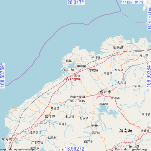
Wangwu GPS coordinates[2]
19° 39' 22.428" North, 109° 17' 26.556" East
| Map corner | latitude | longitude |
|---|---|---|
| Upper-left | 20.317°, | 108.58759° |
| Center: | 19.65623°, | 109.29071° |
| Lower-right: | 18.99272°, | 109.99384° |
| Map W x H: | 147.2×147.2 km | = 91.5×91.5mi |
| max Lat: | 53.31946° ⇑99.1% North |
| Wangwu: | 19.65623° |
| min Lat: | ⇓0.9% South 18.22056° |
| min Long | Wangwu | max Long |
| 75.07348° | 109.29071° | 134.28917° |
| W 25.1%⇐ | ⇒74.9% E |
Elevation
Elevation of Wangwu is 27 m = 89 ft, and this is 457.8 m = 1502 ft below average elevation for this country.
| Max E: |
5622 m = 18445 ft | 79.8% |
| Avg. | 484.8 m = 1591 ft | |
| Wangwu | 27 m = 89 ft | |
Min E: |
-3 m = -10 ft | 20.2% |
See also: China elevation on elevation.city.
Geographical zone
Wangwu is located in North Torrid zone (between Equator and Tropic of Cancer). Distance of this Northern Tropic circle is 420.4 km =261.2 mi to North.| Distance of | km | miles | from Wangwu |
|---|---|---|---|
| North Pole | 7821.5 | 4860.1 | to North |
| Arctic Circle | 5215.6 | 3240.8 | to North |
| Tropic Cancer | 420.4 | 261.2 | to North |
| Equator | 2185.6 | 1358.1 | to South |


Nearby cities:
15 places around Wangwu: (largest is in red/bold)
• Baimajing
9.8 km =6.1 mi,  309°
309°
• Dacheng
19.5 km =12.1 mi,  146°
146°
• Dongcheng
18.3 km =11.4 mi,  71°
71°
• Eman
22.5 km =14 mi,  352°
352°
• Guangcun
26.5 km =16.5 mi,  47°
47°
• Mutang
17.8 km =11.1 mi,  18°
18°
• Nada
33.6 km =20.9 mi,  116°
116°
• Nanbao
32.1 km =19.9 mi,  84°
84°
• Paipu
14 km =8.7 mi,  262°
262°
• Rongbang
28.5 km =17.7 mi,  215°
215°
• Sandu
16.8 km =10.4 mi,  331°
331°
• Xinying
36 km =22.4 mi,  43°
43°
• Xinzhou
6.8 km =4.2 mi, 18°
• Yaxing
23.4 km =14.5 mi,  187°
187°
• Zhonghe
11.2 km =7 mi,  30°
30°
Sources, notices
• [Note1] Compared only with cities in China existing in our database
• [Src1] Map data: © OpenStreetMap contributors (CC-BY-SA)
• [Src2] Other city data from geonames.org with taken over terms of usage.
• [Src3] Geographical zone / Annual Mean Temperature by Robert A. Rohde @ Wikipedia
