Liangshan geodata
Liangshan (Jiangxi) is a seat of a fourth-order administrative division; located in China in Asia/Shanghai (GMT+8) time zone. In our database, there are 1268 cities with bigger population. Compared to other cities in China, 75.9% of cities are located further ↑North; 53.7% of cities are located further ←West and 62.3% of cities have higher elevation than Liangshan. Note1


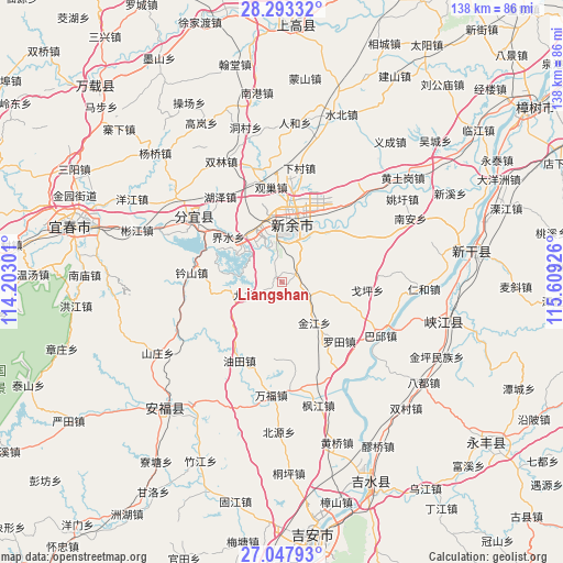
Liangshan GPS coordinates[2]
27° 40' 20.64" North, 114° 54' 22.068" East
| Map corner | latitude | longitude |
|---|---|---|
| Upper-left | 28.29332°, | 114.20301° |
| Center: | 27.6724°, | 114.90613° |
| Lower-right: | 27.04793°, | 115.60926° |
| Map W x H: | 138.5×138.5 km | = 86.1×86.1mi |
| max Lat: | 53.31946° ⇑75.9% North |
| Liangshan: | 27.6724° |
| min Lat: | ⇓24.1% South 18.22056° |
| min Long | Liangshan | max Long |
| 75.07348° | 114.90613° | 134.28917° |
| W 53.7%⇐ | ⇒46.3% E |
Elevation
Elevation of Liangshan is 86 m = 282 ft, and this is 398.8 m = 1308 ft below average elevation for this country.
| Max E: |
5622 m = 18445 ft | 62.3% |
| Avg. | 484.8 m = 1591 ft | |
| Liangshan | 86 m = 282 ft | |
Min E: |
-3 m = -10 ft | 37.7% |
See also: China elevation on elevation.city.
Geographical zone
Liangshan is located in North temperate zone (between Tropic of Cancer and the Arctic Circle). Distance of this Northern Tropic circle is 471 km =292.7 mi to South.| Distance of | km | miles | from Liangshan |
|---|---|---|---|
| North Pole | 6930.2 | 4306.2 | to North |
| Arctic Circle | 4324.3 | 2687 | to North |
| Tropic Cancer | 471 | 292.7 | to South |
| Equator | 3076.9 | 1911.9 | to South |


Nearby cities:
15 places around Liangshan: (largest is in red/bold)
• Geping
21.2 km =13.2 mi,  95°
95°
• Guanchao
24.1 km =15 mi,  350°
350°
• Hexia
14.5 km =9 mi,  337°
337°
• Jieshui
19.1 km =11.9 mi,  310°
310°
• Jinjiang
12.4 km =7.7 mi,  140°
140°
• Jiulongshan
7.2 km =4.5 mi,  245°
245°
• Luotian
20.4 km =12.7 mi, 136°
• Shuixi
20.7 km =12.9 mi,  36°
36°
• Xinyu
14.9 km =9.3 mi,  10°
10°
• Xinyu
19.5 km =12.1 mi, 342°
• Xinzhi
22.2 km =13.8 mi,  276°
276°
• Yanxi
13.5 km =8.4 mi, 104°
• Youtian
21 km =13 mi,  212°
212°
• Yuankeng
17.8 km =11.1 mi,  261°
261°
• Zhushan
12.2 km =7.6 mi,  17°
17°
Sources, notices
• [Note1] Compared only with cities in China existing in our database
• [Src1] Map data: © OpenStreetMap contributors (CC-BY-SA)
• [Src2] Other city data from geonames.org with taken over terms of usage.
• [Src3] Geographical zone / Annual Mean Temperature by Robert A. Rohde @ Wikipedia
