Lanyi geodata
Lanyi (Shanxi) is a seat of a third-order administrative division; located in China in Asia/Shanghai (GMT+8) time zone. In our database, there are 1268 cities with bigger population. Compared to other cities in China, 82.2% of cities are located further ↓South; 64.6% of cities are located further →East and 91.1% of cities have lower elevation than Lanyi. Note1


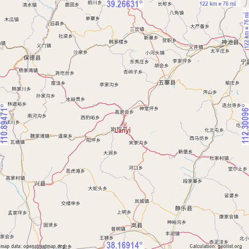
Lanyi GPS coordinates[2]
38° 43' 11.388" North, 111° 35' 52.188" East
| Map corner | latitude | longitude |
|---|---|---|
| Upper-left | 39.26631°, | 110.89471° |
| Center: | 38.71983°, | 111.59783° |
| Lower-right: | 38.16914°, | 112.30096° |
| Map W x H: | 122×122 km | = 75.8×75.8mi |
| max Lat: | 53.31946° ⇑17.8% North |
| Lanyi: | 38.71983° |
| min Lat: | ⇓82.2% South 18.22056° |
| min Long | Lanyi | max Long |
| 75.07348° | 111.59783° | 134.28917° |
| W 35.4%⇐ | ⇒64.6% E |
Elevation
Elevation of Lanyi is 1460 m = 4790 ft, and this is 975.2 m = 3199 ft above average elevation for this country.
| Max E: |
5622 m = 18445 ft | 8.9% |
| Lanyi | 1460 m 4790 ft | |
| Avg. | 484.8 m = 1591 ft | |
Min E: |
-3 m = -10 ft | 91.1% |
See also: China elevation on elevation.city.
Geographical zone
Lanyi is located in North temperate zone (between Tropic of Cancer and the Arctic Circle). Distance of this Northern Tropic circle is 1699.3 km =1055.9 mi to South.| Distance of | km | miles | from Lanyi |
|---|---|---|---|
| North Pole | 5701.8 | 3542.9 | to North |
| Arctic Circle | 3095.9 | 1923.7 | to North |
| Tropic Cancer | 1699.3 | 1055.9 | to South |
| Equator | 4305.2 | 2675.1 | to South |


Nearby cities:
15 places around Lanyi: (largest is in red/bold)
• Dietaisi
53.4 km =33.2 mi,  79°
79°
• Dongcun
48.2 km =30 mi,  168°
168°
• Dongguan
52.5 km =32.6 mi,  309°
309°
• Dongzhai
44.5 km =27.7 mi, 77°
• Echeng
50.3 km =31.3 mi,  139°
139°
• Hezhi
46.9 km =29.1 mi,  27°
27°
• Huabeitun
43.7 km =27.2 mi,  93°
93°
• Huaidao
56 km =34.8 mi, 94°
• Hubei
47.3 km =29.4 mi,  49°
49°
• Shijiazhuang
39.7 km =24.7 mi,  113°
113°
• Weifen
45.9 km =28.5 mi,  234°
234°
• Ximafang
36.9 km =22.9 mi,  99°
99°
• Xinbu
32.3 km =20.1 mi, 113°
• Yancheng
32 km =19.9 mi, 47°
• Yijing
51.8 km =32.2 mi,  42°
42°
Sources, notices
• [Note1] Compared only with cities in China existing in our database
• [Src1] Map data: © OpenStreetMap contributors (CC-BY-SA)
• [Src2] Other city data from geonames.org with taken over terms of usage.
• [Src3] Geographical zone / Annual Mean Temperature by Robert A. Rohde @ Wikipedia
