Jincheng geodata
Jincheng (Sichuan) is a seat of a third-order administrative division; located in China in Asia/Shanghai (GMT+8) time zone. In our database, there are 1268 cities with bigger population. Compared to other cities in China, 71.7% of cities are located further ↑North; 90.9% of cities are located further →East and 88.3% of cities have lower elevation than Jincheng. Note1


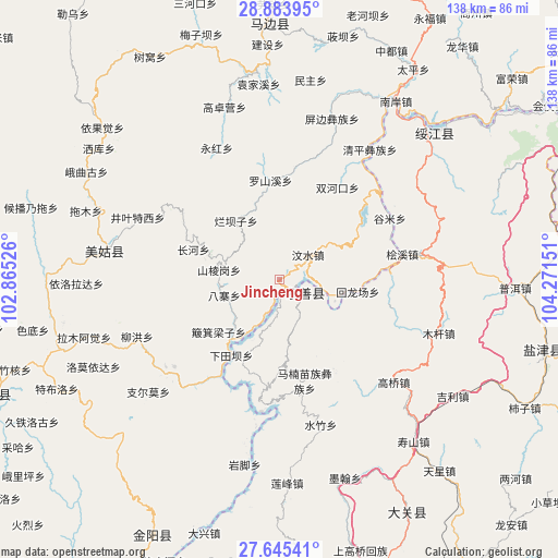
Jincheng GPS coordinates[2]
28° 15' 59.328" North, 103° 34' 6.168" East
| Map corner | latitude | longitude |
|---|---|---|
| Upper-left | 28.88395°, | 102.86526° |
| Center: | 28.26648°, | 103.56838° |
| Lower-right: | 27.64541°, | 104.27151° |
| Map W x H: | 137.7×137.7 km | = 85.6×85.6mi |
| max Lat: | 53.31946° ⇑71.7% North |
| Jincheng: | 28.26648° |
| min Lat: | ⇓28.3% South 18.22056° |
| min Long | Jincheng | max Long |
| 75.07348° | 103.56838° | 134.28917° |
| W 9.1%⇐ | ⇒90.9% E |
Elevation
Elevation of Jincheng is 1211 m = 3973 ft, and this is 726.2 m = 2383 ft above average elevation for this country.
| Max E: |
5622 m = 18445 ft | 11.7% |
| Jincheng | 1211 m 3973 ft | |
| Avg. | 484.8 m = 1591 ft | |
Min E: |
-3 m = -10 ft | 88.3% |
See also: China elevation on elevation.city.
Geographical zone
Jincheng is located in North temperate zone (between Tropic of Cancer and the Arctic Circle). Distance of this Northern Tropic circle is 537 km =333.7 mi to South.| Distance of | km | miles | from Jincheng |
|---|---|---|---|
| North Pole | 6864.1 | 4265.2 | to North |
| Arctic Circle | 4258.2 | 2645.9 | to North |
| Tropic Cancer | 537 | 333.7 | to South |
| Equator | 3142.9 | 1952.9 | to South |


Nearby cities:
15 places around Jincheng: (largest is in red/bold)
• Changping
28.8 km =17.9 mi,  103°
103°
• Huanggexi
54.1 km =33.6 mi,  147°
147°
• Huangjingba
50.7 km =31.5 mi,  123°
123°
• Moshiyi
51.2 km =31.8 mi,  162°
162°
• Mugan
40.6 km =25.2 mi,  105°
105°
• Nahaping
33.8 km =21 mi,  57°
57°
• Shangtianba
38.9 km =24.2 mi,  132°
132°
• Shuizhulin
37.3 km =23.2 mi, 163°
• Tiexianxi
50.5 km =31.4 mi,  141°
141°
• Wanhechang
54.8 km =34.1 mi,  186°
186°
• Xiluodu
7.3 km =4.5 mi, 109°
• Xishaqiao
41 km =25.5 mi,  84°
84°
• Yuelejie
53.2 km =33.1 mi, 156°
• Zhongcheng
51.2 km =31.8 mi,  45°
45°
• Zhonghechang
53.4 km =33.2 mi, 103°
Sources, notices
• [Note1] Compared only with cities in China existing in our database
• [Src1] Map data: © OpenStreetMap contributors (CC-BY-SA)
• [Src2] Other city data from geonames.org with taken over terms of usage.
• [Src3] Geographical zone / Annual Mean Temperature by Robert A. Rohde @ Wikipedia
