Chuimatan geodata
Chuimatan (Gansu) is a seat of a third-order administrative division; located in China in Asia/Shanghai (GMT+8) time zone. In our database, there are 1268 cities with bigger population. Compared to other cities in China, 76.5% of cities are located further ↓South; 91.7% of cities are located further →East and 95.4% of cities have lower elevation than Chuimatan. Note1


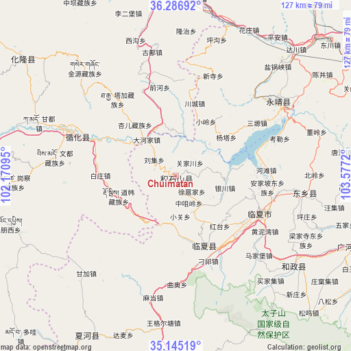
Chuimatan GPS coordinates[2]
35° 43' 5.16" North, 102° 52' 26.652" East
| Map corner | latitude | longitude |
|---|---|---|
| Upper-left | 36.28692°, | 102.17095° |
| Center: | 35.7181°, | 102.87407° |
| Lower-right: | 35.14519°, | 103.5772° |
| Map W x H: | 126.9×126.9 km | = 78.9×78.9mi |
| max Lat: | 53.31946° ⇑23.5% North |
| Chuimatan: | 35.7181° |
| min Lat: | ⇓76.5% South 18.22056° |
| min Long | Chuimatan | max Long |
| 75.07348° | 102.87407° | 134.28917° |
| W 8.3%⇐ | ⇒91.7% E |
Elevation
Elevation of Chuimatan is 2291 m = 7516 ft, and this is 1806.2 m = 5926 ft above average elevation for this country.
| Max E: |
5622 m = 18445 ft | 4.6% |
| Chuimatan | 2291 m 7516 ft | |
| Avg. | 484.8 m = 1591 ft | |
Min E: |
-3 m = -10 ft | 95.4% |
See also: China elevation on elevation.city.
Geographical zone
Chuimatan is located in North temperate zone (between Tropic of Cancer and the Arctic Circle). Distance of this Northern Tropic circle is 1365.6 km =848.5 mi to South.| Distance of | km | miles | from Chuimatan |
|---|---|---|---|
| North Pole | 6035.6 | 3750.3 | to North |
| Arctic Circle | 3429.7 | 2131.1 | to North |
| Tropic Cancer | 1365.6 | 848.5 | to South |
| Equator | 3971.5 | 2467.8 | to South |


Nearby cities:
15 places around Chuimatan: (largest is in red/bold)
• Biashizang
14.4 km =8.9 mi,  155°
155°
• Dahejia
16.6 km =10.3 mi,  320°
320°
• Guanjiachuan
7.4 km =4.6 mi,  45°
45°
• Guogan
12.9 km =8 mi,  124°
124°
• Hulinjia
5.8 km =3.6 mi,  81°
81°
• Juiji
9.2 km =5.7 mi,  145°
145°
• Liugou
3.4 km =2.1 mi,  327°
327°
• Liuji
9.6 km =6 mi,  307°
307°
• Shiyuan
7.2 km =4.5 mi,  302°
302°
• Sibaozi
16.4 km =10.2 mi, 325°
• Xiaoguan
15 km =9.3 mi,  173°
173°
• Xinjia
17.9 km =11.1 mi,  350°
350°
• Xuhujia
9.2 km =5.7 mi,  130°
130°
• Zhaizigou
4.6 km =2.9 mi, 162°
• Zhongzuiling
10.8 km =6.7 mi, 153°
Sources, notices
• [Note1] Compared only with cities in China existing in our database
• [Src1] Map data: © OpenStreetMap contributors (CC-BY-SA)
• [Src2] Other city data from geonames.org with taken over terms of usage.
• [Src3] Geographical zone / Annual Mean Temperature by Robert A. Rohde @ Wikipedia
