Chaping geodata
Chaping (Fujian) is a seat of a fourth-order administrative division; located in China in Asia/Shanghai (GMT+8) time zone. In our database, there are 1268 cities with bigger population. Compared to other cities in China, 76.7% of cities are located further ↑North; 75.1% of cities are located further ←West and 63.2% of cities have lower elevation than Chaping. Note1


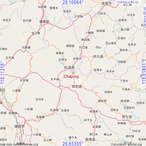
Chaping GPS coordinates[2]
27° 28' 42.996" North, 118° 48' 55.008" East
| Map corner | latitude | longitude |
|---|---|---|
| Upper-left | 28.10064°, | 118.11216° |
| Center: | 27.47861°, | 118.81528° |
| Lower-right: | 26.85305°, | 119.51841° |
| Map W x H: | 138.7×138.7 km | = 86.2×86.2mi |
| max Lat: | 53.31946° ⇑76.7% North |
| Chaping: | 27.47861° |
| min Lat: | ⇓23.3% South 18.22056° |
| min Long | Chaping | max Long |
| 75.07348° | 118.81528° | 134.28917° |
| W 75.1%⇐ | ⇒24.9% E |
Elevation
Elevation of Chaping is 299 m = 981 ft, and this is 185.8 m = 610 ft below average elevation for this country.
| Max E: |
5622 m = 18445 ft | 36.8% |
| Avg. | 484.8 m = 1591 ft | |
| Chaping | 299 m = 981 ft | |
Min E: |
-3 m = -10 ft | 63.2% |
See also: China elevation on elevation.city.
Geographical zone
Chaping is located in North temperate zone (between Tropic of Cancer and the Arctic Circle). Distance of this Northern Tropic circle is 449.4 km =279.2 mi to South.| Distance of | km | miles | from Chaping |
|---|---|---|---|
| North Pole | 6951.7 | 4319.6 | to North |
| Arctic Circle | 4345.8 | 2700.4 | to North |
| Tropic Cancer | 449.4 | 279.2 | to South |
| Equator | 3055.3 | 1898.5 | to South |


Nearby cities:
15 places around Chaping: (largest is in red/bold)
• Dongping
18.3 km =11.4 mi,  252°
252°
• Hedong
5.8 km =3.6 mi,  335°
335°
• Huaqiao
16.2 km =10.1 mi,  323°
323°
• Jiuxian
14.6 km =9.1 mi,  15°
15°
• Lingyao
16.5 km =10.3 mi,  92°
92°
• Longgong
12.8 km =8 mi,  84°
84°
• Pingdu
21.1 km =13.1 mi,  44°
44°
• Shitun
14.8 km =9.2 mi,  204°
204°
• Songyuan
6.6 km =4.1 mi, 324°
• Tieshan
14.1 km =8.8 mi,  128°
128°
• Xingxi
13 km =8.1 mi,  161°
161°
• Xiongshan
13.4 km =8.3 mi, 161°
• Yushang
20 km =12.4 mi,  58°
58°
• Zhengdun
11.7 km =7.3 mi,  279°
279°
• Zudun
22.9 km =14.2 mi,  327°
327°
Sources, notices
• [Note1] Compared only with cities in China existing in our database
• [Src1] Map data: © OpenStreetMap contributors (CC-BY-SA)
• [Src2] Other city data from geonames.org with taken over terms of usage.
• [Src3] Geographical zone / Annual Mean Temperature by Robert A. Rohde @ Wikipedia
