Kongjiang geodata
Kongjiang (Guangdong) is a seat of a fourth-order administrative division; located in China in Asia/Shanghai (GMT+8) time zone. In our database, there are 1268 cities with bigger population. Compared to other cities in China, 85.2% of cities are located further ↑North; 52.2% of cities are located further ←West and 52.5% of cities have lower elevation than Kongjiang. Note1


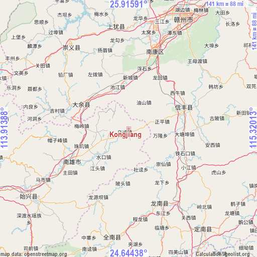
Kongjiang GPS coordinates[2]
25° 16' 54.516" North, 114° 37' 1.2" East
| Map corner | latitude | longitude |
|---|---|---|
| Upper-left | 25.91591°, | 113.91388° |
| Center: | 25.28181°, | 114.617° |
| Lower-right: | 24.64438°, | 115.32013° |
| Map W x H: | 141.4×141.4 km | = 87.9×87.9mi |
| max Lat: | 53.31946° ⇑85.2% North |
| Kongjiang: | 25.28181° |
| min Lat: | ⇓14.8% South 18.22056° |
| min Long | Kongjiang | max Long |
| 75.07348° | 114.617° | 134.28917° |
| W 52.2%⇐ | ⇒47.8% E |
Elevation
Elevation of Kongjiang is 184 m = 604 ft, and this is 300.8 m = 987 ft below average elevation for this country.
| Max E: |
5622 m = 18445 ft | 47.5% |
| Avg. | 484.8 m = 1591 ft | |
| Kongjiang | 184 m = 604 ft | |
Min E: |
-3 m = -10 ft | 52.5% |
See also: China elevation on elevation.city.
Geographical zone
Kongjiang is located in North temperate zone (between Tropic of Cancer and the Arctic Circle). Distance of this Northern Tropic circle is 205.2 km =127.5 mi to South.| Distance of | km | miles | from Kongjiang |
|---|---|---|---|
| North Pole | 7196 | 4471.4 | to North |
| Arctic Circle | 4590.1 | 2852.2 | to North |
| Tropic Cancer | 205.2 | 127.5 | to South |
| Equator | 2811.1 | 1746.7 | to South |


Nearby cities:
15 places around Kongjiang: (largest is in red/bold)
• Datang
9.3 km =5.8 mi,  269°
269°
• Dengfang
17.7 km =11 mi,  263°
263°
• Huangkeng
12.9 km =8 mi,  240°
240°
• Hukou
24.9 km =15.5 mi, 240°
• Jiangtou
27.7 km =17.2 mi,  218°
218°
• Jiezhi
10.9 km =6.8 mi,  113°
113°
• Meiling
26.2 km =16.3 mi, 273°
• Nanmu
14.7 km =9.1 mi,  204°
204°
• Nan’an
28.8 km =17.9 mi,  297°
297°
• Pingtian
10.1 km =6.3 mi,  175°
175°
• Shuikou
20.8 km =12.9 mi, 221°
• Wujing
3.2 km =2 mi,  190°
190°
• Xinlong
9.3 km =5.8 mi, 176°
• Youshan
11.6 km =7.2 mi,  318°
318°
• Zhuji
28 km =17.4 mi,  247°
247°
Sources, notices
• [Note1] Compared only with cities in China existing in our database
• [Src1] Map data: © OpenStreetMap contributors (CC-BY-SA)
• [Src2] Other city data from geonames.org with taken over terms of usage.
• [Src3] Geographical zone / Annual Mean Temperature by Robert A. Rohde @ Wikipedia
