Linghou geodata
Linghou (Zhejiang) is a seat of a fourth-order administrative division; located in China in Asia/Shanghai (GMT+8) time zone. In our database, there are 1268 cities with bigger population. Compared to other cities in China, 75.2% of cities are located further ↑North; 81.1% of cities are located further ←West and 78.9% of cities have lower elevation than Linghou. Note1


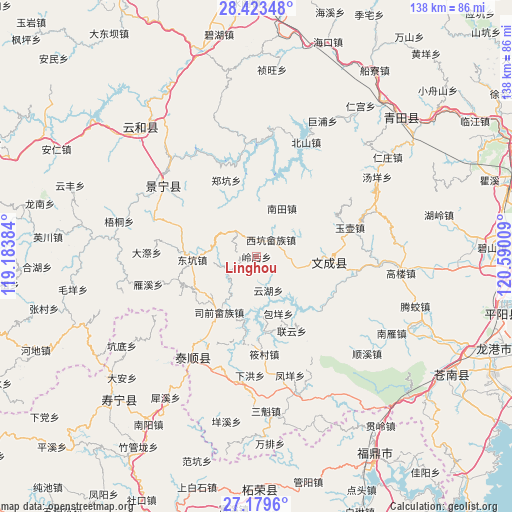
Linghou GPS coordinates[2]
27° 48' 11.952" North, 119° 53' 13.056" East
| Map corner | latitude | longitude |
|---|---|---|
| Upper-left | 28.42348°, | 119.18384° |
| Center: | 27.80332°, | 119.88696° |
| Lower-right: | 27.1796°, | 120.59009° |
| Map W x H: | 138.3×138.3 km | = 85.9×85.9mi |
| max Lat: | 53.31946° ⇑75.2% North |
| Linghou: | 27.80332° |
| min Lat: | ⇓24.8% South 18.22056° |
| min Long | Linghou | max Long |
| 75.07348° | 119.88696° | 134.28917° |
| W 81.1%⇐ | ⇒18.9% E |
Elevation
Elevation of Linghou is 648 m = 2126 ft, and this is 163.2 m = 535 ft above average elevation for this country.
| Max E: |
5622 m = 18445 ft | 21.1% |
| Linghou | 648 m 2126 ft | |
| Avg. | 484.8 m = 1591 ft | |
Min E: |
-3 m = -10 ft | 78.9% |
See also: China elevation on elevation.city.
Geographical zone
Linghou is located in North temperate zone (between Tropic of Cancer and the Arctic Circle). Distance of this Northern Tropic circle is 485.5 km =301.7 mi to South.| Distance of | km | miles | from Linghou |
|---|---|---|---|
| North Pole | 6915.6 | 4297.2 | to North |
| Arctic Circle | 4309.7 | 2677.9 | to North |
| Tropic Cancer | 485.5 | 301.7 | to South |
| Equator | 3091.4 | 1920.9 | to South |


Nearby cities:
15 places around Linghou: (largest is in red/bold)
• Baizhang
16.9 km =10.5 mi,  192°
192°
• Baoyang
16.5 km =10.3 mi,  158°
158°
• Dongkeng
17.3 km =10.7 mi,  267°
267°
• Fengmen
12 km =7.5 mi, 193°
• Fu’ao
7.6 km =4.7 mi,  86°
86°
• Huangliao
15.9 km =9.9 mi,  359°
359°
• Huangqiao
9.2 km =5.7 mi,  253°
253°
• Meiqi
17.3 km =10.7 mi,  314°
314°
• Nantian
14.8 km =9.2 mi,  27°
27°
• Shiyang
6.1 km =3.8 mi,  334°
334°
• Xiayang
11.6 km =7.2 mi,  315°
315°
• Xikeng
5.9 km =3.7 mi, 34°
• Yunhu
9.6 km =6 mi, 160°
• Zhishan
10.2 km =6.3 mi, 161°
• Zhuli
15.7 km =9.8 mi,  227°
227°
Sources, notices
• [Note1] Compared only with cities in China existing in our database
• [Src1] Map data: © OpenStreetMap contributors (CC-BY-SA)
• [Src2] Other city data from geonames.org with taken over terms of usage.
• [Src3] Geographical zone / Annual Mean Temperature by Robert A. Rohde @ Wikipedia
