Longtan geodata
Longtan (Guangdong) is a seat of a fourth-order administrative division; located in China in Asia/Shanghai (GMT+8) time zone. In our database, there are 1268 cities with bigger population. Compared to other cities in China, 92.4% of cities are located further ↑North; 59.3% of cities are located further ←West and 73.7% of cities have higher elevation than Longtan. Note1


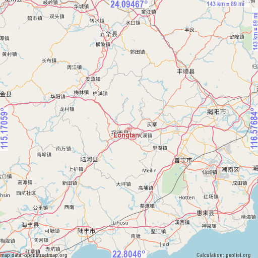
Longtan GPS coordinates[2]
23° 27' 4.356" North, 115° 52' 25.356" East
| Map corner | latitude | longitude |
|---|---|---|
| Upper-left | 24.09467°, | 115.17059° |
| Center: | 23.45121°, | 115.87371° |
| Lower-right: | 22.8046°, | 116.57684° |
| Map W x H: | 143.4×143.4 km | = 89.1×89.1mi |
| max Lat: | 53.31946° ⇑92.4% North |
| Longtan: | 23.45121° |
| min Lat: | ⇓7.6% South 18.22056° |
| min Long | Longtan | max Long |
| 75.07348° | 115.87371° | 134.28917° |
| W 59.3%⇐ | ⇒40.7% E |
Elevation
Elevation of Longtan is 40 m = 131 ft, and this is 444.8 m = 1459 ft below average elevation for this country.
| Max E: |
5622 m = 18445 ft | 73.7% |
| Avg. | 484.8 m = 1591 ft | |
| Longtan | 40 m = 131 ft | |
Min E: |
-3 m = -10 ft | 26.3% |
See also: China elevation on elevation.city.
Geographical zone
Longtan is located in North temperate zone (between Tropic of Cancer and the Arctic Circle). Distance of this Northern Tropic circle is 1.6 km =1 mi to South.| Distance of | km | miles | from Longtan |
|---|---|---|---|
| North Pole | 7399.5 | 4597.8 | to North |
| Arctic Circle | 4793.6 | 2978.6 | to North |
| Tropic Cancer | 1.6 | 1 | to South |
| Equator | 2607.5 | 1620.2 | to South |


Nearby cities:
15 places around Longtan: (largest is in red/bold)
• Daxi
9.3 km =5.8 mi,  109°
109°
• Hepo
5 km =3.1 mi,  243°
243°
• Huizhai
13.8 km =8.6 mi,  73°
73°
• Jingxiyuan
20.4 km =12.7 mi, 65°
• Jinhe
18.3 km =11.4 mi,  97°
97°
• Liangtian
11.6 km =7.2 mi,  348°
348°
• Lihu
19.8 km =12.3 mi,  120°
120°
• Nanshan
10.5 km =6.5 mi, 65°
• Pingshang
5.7 km =3.5 mi,  163°
163°
• Qiankeng
14 km =8.7 mi, 119°
• Shangsha
18.6 km =11.6 mi,  278°
278°
• Shuichun
20.5 km =12.7 mi,  222°
222°
• Tatou
19.9 km =12.4 mi, 74°
• Wujingfu
23.7 km =14.7 mi,  57°
57°
• Wuyun
11.4 km =7.1 mi, 237°
Sources, notices
• [Note1] Compared only with cities in China existing in our database
• [Src1] Map data: © OpenStreetMap contributors (CC-BY-SA)
• [Src2] Other city data from geonames.org with taken over terms of usage.
• [Src3] Geographical zone / Annual Mean Temperature by Robert A. Rohde @ Wikipedia
