Wuxihe geodata
Wuxihe (Hunan) is a seat of a fourth-order administrative division; located in China in Asia/Shanghai (GMT+8) time zone. In our database, there are 1268 cities with bigger population. Compared to other cities in China, 65.2% of cities are located further ↑North; 65.4% of cities are located further →East and 71.6% of cities have higher elevation than Wuxihe. Note1


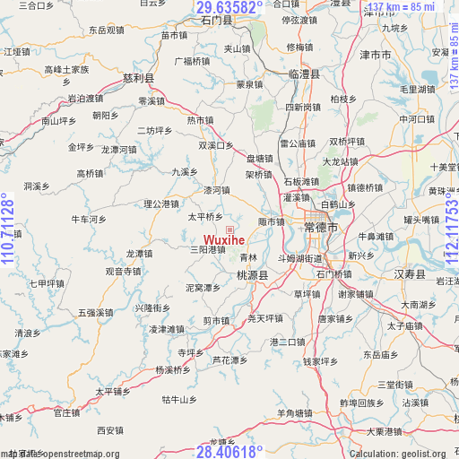
Wuxihe GPS coordinates[2]
29° 1' 22.188" North, 111° 24' 51.84" East
| Map corner | latitude | longitude |
|---|---|---|
| Upper-left | 29.63582°, | 110.71128° |
| Center: | 29.02283°, | 111.4144° |
| Lower-right: | 28.40618°, | 112.11753° |
| Map W x H: | 136.7×136.7 km | = 84.9×84.9mi |
| max Lat: | 53.31946° ⇑65.2% North |
| Wuxihe: | 29.02283° |
| min Lat: | ⇓34.8% South 18.22056° |
| min Long | Wuxihe | max Long |
| 75.07348° | 111.4144° | 134.28917° |
| W 34.6%⇐ | ⇒65.4% E |
Elevation
Elevation of Wuxihe is 46 m = 151 ft, and this is 438.8 m = 1440 ft below average elevation for this country.
| Max E: |
5622 m = 18445 ft | 71.6% |
| Avg. | 484.8 m = 1591 ft | |
| Wuxihe | 46 m = 151 ft | |
Min E: |
-3 m = -10 ft | 28.4% |
See also: China elevation on elevation.city.
Geographical zone
Wuxihe is located in North temperate zone (between Tropic of Cancer and the Arctic Circle). Distance of this Northern Tropic circle is 621.1 km =385.9 mi to South.| Distance of | km | miles | from Wuxihe |
|---|---|---|---|
| North Pole | 6780 | 4212.9 | to North |
| Arctic Circle | 4174.1 | 2593.7 | to North |
| Tropic Cancer | 621.1 | 385.9 | to South |
| Equator | 3227 | 2005.2 | to South |


Nearby cities:
15 places around Wuxihe: (largest is in red/bold)
• Chehuyuan
11.8 km =7.3 mi,  128°
128°
• Fengshu
7.3 km =4.5 mi,  96°
96°
• Hefu
17.9 km =11.1 mi,  84°
84°
• Huangjiapu
15.9 km =9.9 mi,  309°
309°
• Jiaqiao
17.9 km =11.1 mi,  26°
26°
• Mutangyuan
13.2 km =8.2 mi,  93°
93°
• Qihe
12.8 km =8 mi,  342°
342°
• Qinglin
9.3 km =5.8 mi,  145°
145°
• Sanyanggang
8.4 km =5.2 mi,  232°
232°
• Shejiaping
16.6 km =10.3 mi,  252°
252°
• Shenshuigang
12 km =7.5 mi,  187°
187°
• Taipingqiao
8.7 km =5.4 mi,  300°
300°
• Xujiaqiao
20.5 km =12.7 mi, 126°
• Zhangjiang
14 km =8.7 mi, 152°
• Zoushi
12.3 km =7.6 mi, 79°
Sources, notices
• [Note1] Compared only with cities in China existing in our database
• [Src1] Map data: © OpenStreetMap contributors (CC-BY-SA)
• [Src2] Other city data from geonames.org with taken over terms of usage.
• [Src3] Geographical zone / Annual Mean Temperature by Robert A. Rohde @ Wikipedia
