Xiwang geodata
Xiwang (Shaanxi) is a seat of a fourth-order administrative division; located in China in Asia/Shanghai (GMT+8) time zone. In our database, there are 1268 cities with bigger population. Compared to other cities in China, 71.5% of cities are located further ↓South; 76.1% of cities are located further →East and 69.8% of cities have lower elevation than Xiwang. Note1


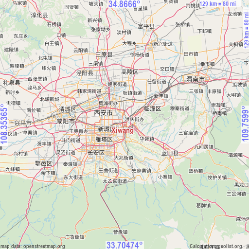
Xiwang GPS coordinates[2]
34° 17' 15.648" North, 109° 3' 24.372" East
| Map corner | latitude | longitude |
|---|---|---|
| Upper-left | 34.8666°, | 108.35365° |
| Center: | 34.28768°, | 109.05677° |
| Lower-right: | 33.70474°, | 109.7599° |
| Map W x H: | 129.2×129.2 km | = 80.3×80.3mi |
| max Lat: | 53.31946° ⇑28.5% North |
| Xiwang: | 34.28768° |
| min Lat: | ⇓71.5% South 18.22056° |
| min Long | Xiwang | max Long |
| 75.07348° | 109.05677° | 134.28917° |
| W 23.9%⇐ | ⇒76.1% E |
Elevation
Elevation of Xiwang is 408 m = 1339 ft, and this is 76.8 m = 252 ft below average elevation for this country.
| Max E: |
5622 m = 18445 ft | 30.2% |
| Avg. | 484.8 m = 1591 ft | |
| Xiwang | 408 m = 1339 ft | |
Min E: |
-3 m = -10 ft | 69.8% |
See also: China elevation on elevation.city.
Geographical zone
Xiwang is located in North temperate zone (between Tropic of Cancer and the Arctic Circle). Distance of this Northern Tropic circle is 1206.5 km =749.7 mi to South.| Distance of | km | miles | from Xiwang |
|---|---|---|---|
| North Pole | 6194.6 | 3849.1 | to North |
| Arctic Circle | 3588.7 | 2229.9 | to North |
| Tropic Cancer | 1206.5 | 749.7 | to South |
| Equator | 3812.4 | 2368.9 | to South |


Nearby cities:
15 places around Xiwang: (largest is in red/bold)
• Baqiao
4.1 km =2.5 mi,  34°
34°
• Daminggong
8.8 km =5.5 mi,  282°
282°
• Dengjiapo
7.3 km =4.5 mi,  203°
203°
• Dizhai
10.1 km =6.3 mi,  148°
148°
• Lianhu
12.6 km =7.8 mi,  255°
255°
• Qujiang
12.3 km =7.6 mi,  210°
210°
• Tanjia
9.6 km =6 mi,  301°
301°
• Weiyang
11.1 km =6.9 mi,  271°
271°
• Xiekou
12 km =7.5 mi,  47°
47°
• Xincheng
10.2 km =6.3 mi,  254°
254°
• Xinjiamiao
6.6 km =4.1 mi,  287°
287°
• Xinzhu
10.8 km =6.7 mi,  359°
359°
• Xi’an
12.2 km =7.6 mi, 254°
• Xujia
10.4 km =6.5 mi, 303°
• Zhangjiabao
11.9 km =7.4 mi, 292°
Sources, notices
• [Note1] Compared only with cities in China existing in our database
• [Src1] Map data: © OpenStreetMap contributors (CC-BY-SA)
• [Src2] Other city data from geonames.org with taken over terms of usage.
• [Src3] Geographical zone / Annual Mean Temperature by Robert A. Rohde @ Wikipedia
