Chengbei geodata
Chengbei (Zhejiang) is a seat of a fourth-order administrative division; located in China in Asia/Shanghai (GMT+8) time zone. In our database, there are 1268 cities with bigger population. Compared to other cities in China, 67.8% of cities are located further ↑North; 82.3% of cities are located further ←West and 51.8% of cities have higher elevation than Chengbei. Note1


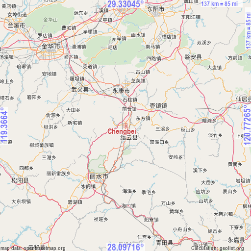
Chengbei GPS coordinates[2]
28° 42' 56.232" North, 120° 4' 10.272" East
| Map corner | latitude | longitude |
|---|---|---|
| Upper-left | 29.33045°, | 119.3664° |
| Center: | 28.71562°, | 120.06952° |
| Lower-right: | 28.09716°, | 120.77265° |
| Map W x H: | 137.1×137.1 km | = 85.2×85.2mi |
| max Lat: | 53.31946° ⇑67.8% North |
| Chengbei: | 28.71562° |
| min Lat: | ⇓32.2% South 18.22056° |
| min Long | Chengbei | max Long |
| 75.07348° | 120.06952° | 134.28917° |
| W 82.3%⇐ | ⇒17.7% E |
Elevation
Elevation of Chengbei is 151 m = 495 ft, and this is 333.8 m = 1095 ft below average elevation for this country.
| Max E: |
5622 m = 18445 ft | 51.8% |
| Avg. | 484.8 m = 1591 ft | |
| Chengbei | 151 m = 495 ft | |
Min E: |
-3 m = -10 ft | 48.2% |
See also: China elevation on elevation.city.
Geographical zone
Chengbei is located in North temperate zone (between Tropic of Cancer and the Arctic Circle). Distance of this Northern Tropic circle is 587 km =364.7 mi to South.| Distance of | km | miles | from Chengbei |
|---|---|---|---|
| North Pole | 6814.2 | 4234.1 | to North |
| Arctic Circle | 4208.3 | 2614.9 | to North |
| Tropic Cancer | 587 | 364.7 | to South |
| Equator | 3192.9 | 1984 | to South |


Nearby cities:
15 places around Chengbei: (largest is in red/bold)
• Dongdu
10.7 km =6.6 mi,  188°
188°
• Dongfang
10.3 km =6.4 mi,  65°
65°
• Guli
18.8 km =11.7 mi,  349°
349°
• Huyuan
17.7 km =11 mi,  133°
133°
• Jiangnan
20 km =12.4 mi, 347°
• Qiancang
9.7 km =6 mi,  10°
10°
• Qianlu
19.5 km =12.1 mi, 72°
• Qili
4.1 km =2.5 mi,  195°
195°
• Rongjiang
17.1 km =10.6 mi,  118°
118°
• Shizhu
14.7 km =9.1 mi, 10°
• Shuhong
11.4 km =7.1 mi, 132°
• Wuyun
6.9 km =4.3 mi,  182°
182°
• Xinbi
4.9 km =3 mi,  21°
21°
• Xinjian
5 km =3.1 mi,  281°
281°
• Zhoushan
14.1 km =8.8 mi,  46°
46°
Sources, notices
• [Note1] Compared only with cities in China existing in our database
• [Src1] Map data: © OpenStreetMap contributors (CC-BY-SA)
• [Src2] Other city data from geonames.org with taken over terms of usage.
• [Src3] Geographical zone / Annual Mean Temperature by Robert A. Rohde @ Wikipedia
