Longshe geodata
Longshe (Chongqing) is a seat of a fourth-order administrative division; located in China in Asia/Shanghai (GMT+8) time zone. In our database, there are 1268 cities with bigger population. Compared to other cities in China, 59.4% of cities are located further ↑North; 79.8% of cities are located further →East and 84.2% of cities have lower elevation than Longshe. Note1


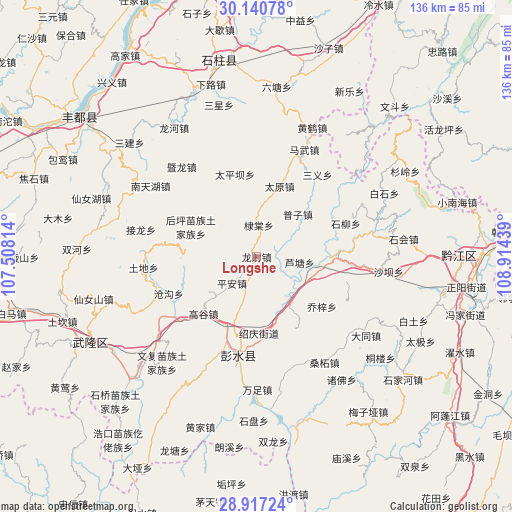
Longshe GPS coordinates[2]
29° 31' 51.096" North, 108° 12' 40.536" East
| Map corner | latitude | longitude |
|---|---|---|
| Upper-left | 30.14078°, | 107.50814° |
| Center: | 29.53086°, | 108.21126° |
| Lower-right: | 28.91724°, | 108.91439° |
| Map W x H: | 136×136 km | = 84.5×84.5mi |
| max Lat: | 53.31946° ⇑59.4% North |
| Longshe: | 29.53086° |
| min Lat: | ⇓40.6% South 18.22056° |
| min Long | Longshe | max Long |
| 75.07348° | 108.21126° | 134.28917° |
| W 20.2%⇐ | ⇒79.8% E |
Elevation
Elevation of Longshe is 926 m = 3038 ft, and this is 441.2 m = 1448 ft above average elevation for this country.
| Max E: |
5622 m = 18445 ft | 15.8% |
| Longshe | 926 m 3038 ft | |
| Avg. | 484.8 m = 1591 ft | |
Min E: |
-3 m = -10 ft | 84.2% |
See also: China elevation on elevation.city.
Geographical zone
Longshe is located in North temperate zone (between Tropic of Cancer and the Arctic Circle). Distance of this Northern Tropic circle is 677.6 km =421 mi to South.| Distance of | km | miles | from Longshe |
|---|---|---|---|
| North Pole | 6723.5 | 4177.8 | to North |
| Arctic Circle | 4117.7 | 2558.6 | to North |
| Tropic Cancer | 677.6 | 421 | to South |
| Equator | 3283.5 | 2040.3 | to South |


Nearby cities:
15 places around Longshe: (largest is in red/bold)
• Baojia
14.2 km =8.8 mi,  136°
136°
• Changtan
20.5 km =12.7 mi,  177°
177°
• Ditang
8.3 km =5.2 mi,  3°
3°
• Dudu
14.7 km =9.1 mi,  320°
320°
• Gaogu
20.6 km =12.8 mi,  223°
223°
• Houping
19.3 km =12 mi,  294°
294°
• Lianhe
22 km =13.7 mi,  71°
71°
• Lutang
11.5 km =7.1 mi,  97°
97°
• Luwu
15.5 km =9.6 mi,  233°
233°
• Ping’an
9.6 km =6 mi, 222°
• Puzi
16 km =9.9 mi,  44°
44°
• Qianqiao
22.1 km =13.7 mi,  151°
151°
• Qiaozi
21.9 km =13.6 mi,  127°
127°
• Taipingba
22.9 km =14.2 mi,  345°
345°
• Yushan
20.7 km =12.9 mi,  89°
89°
Sources, notices
• [Note1] Compared only with cities in China existing in our database
• [Src1] Map data: © OpenStreetMap contributors (CC-BY-SA)
• [Src2] Other city data from geonames.org with taken over terms of usage.
• [Src3] Geographical zone / Annual Mean Temperature by Robert A. Rohde @ Wikipedia
