Yingye’er geodata
Yingye’er (Xinjiang) is a seat of a fourth-order administrative division; located in China in Asia/Urumqi (GMT+6) time zone. In our database, there are 1268 cities with bigger population. Compared to other cities in China, 82.7% of cities are located further ↓South; 99.9% of cities are located further →East and 88.9% of cities have lower elevation than Yingye’er. Note1


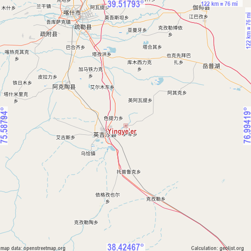
Yingye’er GPS coordinates[2]
38° 58' 24.276" North, 76° 17' 27.816" East
| Map corner | latitude | longitude |
|---|---|---|
| Upper-left | 39.51793°, | 75.58794° |
| Center: | 38.97341°, | 76.29106° |
| Lower-right: | 38.42467°, | 76.99419° |
| Map W x H: | 121.6×121.6 km | = 75.6×75.6mi |
| max Lat: | 53.31946° ⇑17.3% North |
| Yingye’er: | 38.97341° |
| min Lat: | ⇓82.7% South 18.22056° |
| min Long | Yingye’er | max Long |
| 75.07348° | 76.29106° | 134.28917° |
| W 0.1%⇐ | ⇒99.9% E |
Elevation
Elevation of Yingye’er is 1262 m = 4140 ft, and this is 777.2 m = 2550 ft above average elevation for this country.
| Max E: |
5622 m = 18445 ft | 11.1% |
| Yingye’er | 1262 m 4140 ft | |
| Avg. | 484.8 m = 1591 ft | |
Min E: |
-3 m = -10 ft | 88.9% |
See also: China elevation on elevation.city.
Geographical zone
Yingye’er is located in North temperate zone (between Tropic of Cancer and the Arctic Circle). Distance of this Northern Tropic circle is 1727.5 km =1073.4 mi to South.| Distance of | km | miles | from Yingye’er |
|---|---|---|---|
| North Pole | 5673.6 | 3525.4 | to North |
| Arctic Circle | 3067.7 | 1906.2 | to North |
| Tropic Cancer | 1727.5 | 1073.4 | to South |
| Equator | 4333.4 | 2692.6 | to South |


Nearby cities:
15 places around Yingye’er: (largest is in red/bold)
• Aiximan
38.9 km =24.2 mi,  29°
29°
• Aqqik
29.7 km =18.5 mi,  55°
55°
• Chengguan
12.9 km =8 mi,  238°
238°
• Ha’erlong
50 km =31.1 mi,  201°
201°
• Kezilei
39 km =24.2 mi,  156°
156°
• Longfu
20.6 km =12.8 mi,  260°
260°
• Mangxing
9.5 km =5.9 mi, 236°
• Maqia
23.4 km =14.5 mi,  231°
231°
• Qiaoleipan
15.7 km =9.8 mi,  254°
254°
• Saxin
4.4 km =2.7 mi,  151°
151°
• Seyeke
41.8 km =26 mi,  50°
50°
• Sugaiti
22.5 km =14 mi, 200°
• Tuopu Luke
22.9 km =14.2 mi,  175°
175°
• Yekexianbaibazha
41.9 km =26 mi,  37°
37°
• Yigezi Ye’er
37.7 km =23.4 mi,  192°
192°
Sources, notices
• [Note1] Compared only with cities in China existing in our database
• [Src1] Map data: © OpenStreetMap contributors (CC-BY-SA)
• [Src2] Other city data from geonames.org with taken over terms of usage.
• [Src3] Geographical zone / Annual Mean Temperature by Robert A. Rohde @ Wikipedia
