Heishan geodata
Heishan (Shandong) is a seat of a fourth-order administrative division; located in China in Asia/Shanghai (GMT+8) time zone. In our database, there are 1268 cities with bigger population. Compared to other cities in China, 80.9% of cities are located further ↓South; 85.8% of cities are located further ←West and 91.2% of cities have higher elevation than Heishan. Note1


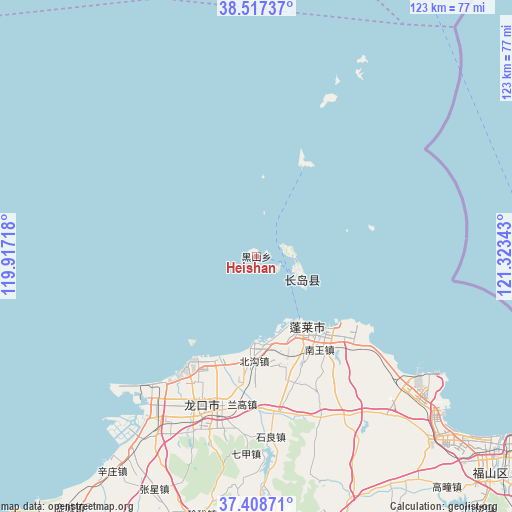
Heishan GPS coordinates[2]
37° 57' 54.468" North, 120° 37' 13.08" East
| Map corner | latitude | longitude |
|---|---|---|
| Upper-left | 38.51737°, | 119.91718° |
| Center: | 37.96513°, | 120.6203° |
| Lower-right: | 37.40871°, | 121.32343° |
| Map W x H: | 123.3×123.3 km | = 76.6×76.6mi |
| max Lat: | 53.31946° ⇑19.1% North |
| Heishan: | 37.96513° |
| min Lat: | ⇓80.9% South 18.22056° |
| min Long | Heishan | max Long |
| 75.07348° | 120.6203° | 134.28917° |
| W 85.8%⇐ | ⇒14.2% E |
Elevation
Elevation of Heishan is 9 m = 30 ft, and this is 475.8 m = 1561 ft below average elevation for this country.
| Max E: |
5622 m = 18445 ft | 91.2% |
| Avg. | 484.8 m = 1591 ft | |
| Heishan | 9 m = 30 ft | |
Min E: |
-3 m = -10 ft | 8.8% |
See also: China elevation on elevation.city.
Geographical zone
Heishan is located in North temperate zone (between Tropic of Cancer and the Arctic Circle). Distance of this Northern Tropic circle is 1615.4 km =1003.8 mi to South.| Distance of | km | miles | from Heishan |
|---|---|---|---|
| North Pole | 5785.7 | 3595.1 | to North |
| Arctic Circle | 3179.8 | 1975.8 | to North |
| Tropic Cancer | 1615.4 | 1003.8 | to South |
| Equator | 4221.3 | 2623 | to South |


Nearby cities:
15 places around Heishan: (largest is in red/bold)
• Beichangshan
8.9 km =5.5 mi,  89°
89°
• Beigou
25.3 km =15.7 mi,  181°
181°
• Dengzhou
21.3 km =13.2 mi,  145°
145°
• Dongjiang
39 km =24.2 mi,  194°
194°
• Donglai
36.4 km =22.6 mi, 193°
• Langao
36 km =22.4 mi, 184°
• Liujiagou
32.1 km =19.9 mi,  133°
133°
• Nanchangshan
10.3 km =6.4 mi,  111°
111°
• Nanchangshan
11.3 km =7 mi,  119°
119°
• Nanwang
27.1 km =16.8 mi, 145°
• Xiaomenjia
40.6 km =25.2 mi,  157°
157°
• Xingang
29.1 km =18.1 mi, 130°
• Xinjia
36.2 km =22.5 mi,  199°
199°
• Xufu
34.1 km =21.2 mi, 200°
• Zhuyouguan
30.8 km =19.1 mi, 186°
Sources, notices
• [Note1] Compared only with cities in China existing in our database
• [Src1] Map data: © OpenStreetMap contributors (CC-BY-SA)
• [Src2] Other city data from geonames.org with taken over terms of usage.
• [Src3] Geographical zone / Annual Mean Temperature by Robert A. Rohde @ Wikipedia
