Dorp Soto geodata
Dorp Soto is a populated place; located in Curacao in America/Curacao (GMT-4) time zone. With population of 2,233 people, there are 3 cities with bigger population in this country. Compared to other cities in Curacao, 50% of cities are located further ↓South; 75% of cities are located further →East and 75% of cities have higher elevation than Dorp Soto. Note1


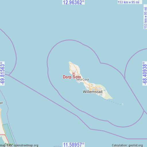
Dorp Soto GPS coordinates[2]
12° 16' 38.964" North, 69° 6' 45" West
| Map corner | latitude | longitude |
|---|---|---|
| Upper-left | 12.96362°, | -69.81563° |
| Center: | 12.27749°, | -69.1125° |
| Lower-right: | 11.58957°, | -68.40938° |
| Map W x H: | 152.8×152.8 km | = 94.9×94.9mi |
| max Lat: | 12.37047° ⇑50% North |
| Dorp Soto: | 12.27749° |
| min Lat: | ⇓50% South 12.1084° |
| min Long | Dorp Soto | max Long |
| -69.15405° | -69.1125° | -68.93354° |
| W 25%⇐ | ⇒75% E |
Elevation
Elevation of Dorp Soto is 14 m = 46 ft, and this is 1.2 m = 4 ft below average elevation for this country.
| Max E: |
25 m = 82 ft | 75% |
| Avg. | 15.2 m = 50 ft | |
| Dorp Soto | 14 m = 46 ft | |
Min E: |
1 m = 3 ft | 25% |
See also: Curacao elevation on elevation.city.
Geographical zone
Dorp Soto is located in North Torrid zone (between Equator and Tropic of Cancer). Distance of this Northern Tropic circle is 1240.8 km =771 mi to North.| Distance of | km | miles | from Dorp Soto |
|---|---|---|---|
| North Pole | 8641.9 | 5369.8 | to North |
| Arctic Circle | 6036 | 3750.6 | to North |
| Tropic Cancer | 1240.8 | 771 | to North |
| Equator | 1365.1 | 848.2 | to South |


Nearby cities:
4 places around Dorp Soto: (largest is in red/bold)
• Barber
4.4 km =2.7 mi,  71°
71°
• Sabana Westpunt
11.3 km =7 mi,  336°
336°
• Sint Michiel Liber
19.9 km =12.4 mi,  135°
135°
• Willemstad
27.1 km =16.8 mi,  134°
134°
Sources, notices
• [Note1] Compared only with cities in Curacao existing in our database
• [Src1] Map data: © OpenStreetMap contributors (CC-BY-SA)
• [Src2] Other city data from geonames.org with taken over terms of usage.
• [Src3] Geographical zone / Annual Mean Temperature by Robert A. Rohde @ Wikipedia
