Koloveč geodata
Koloveč (Plzeňský kraj) is a populated place; located in Czech Republic in Europe/Prague (GMT+2) time zone. With population of 984 people, there are 1307 cities with bigger population in this country. Compared to other cities in Czech Republic, 66.4% of cities are located further ↑North; 95.5% of cities are located further →East and 78.2% of cities have lower elevation than Koloveč. Note1


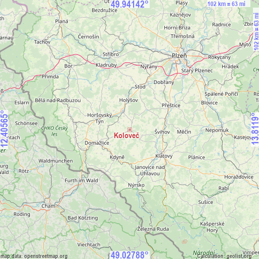
Koloveč GPS coordinates[2]
49° 29' 12.408" North, 13° 6' 31.572" East
| Map corner | latitude | longitude |
|---|---|---|
| Upper-left | 49.94142°, | 12.40565° |
| Center: | 49.48678°, | 13.10877° |
| Lower-right: | 49.02788°, | 13.8119° |
| Map W x H: | 101.6×101.6 km | = 63.1×63.1mi |
| max Lat: | 51.01104° ⇑66.4% North |
| Koloveč: | 49.48678° |
| min Lat: | ⇓33.6% South 48.60378° |
| min Long | Koloveč | max Long |
| 12.17577° | 13.10877° | 18.82683° |
| W 4.5%⇐ | ⇒95.5% E |
Elevation
Elevation of Koloveč is 455 m = 1493 ft, and this is 103 m = 338 ft above average elevation for this country.
| Max E: |
901 m = 2956 ft | 21.8% |
| Koloveč | 455 m 1493 ft | |
| Avg. | 352 m = 1155 ft | |
Min E: |
136 m = 446 ft | 78.2% |
See also: Czech Republic elevation on elevation.city.
Geographical zone
Koloveč is located in North temperate zone (between Tropic of Cancer and the Arctic Circle). Distance of this North polar circle is 1898.8 km =1179.9 mi to North.| Distance of | km | miles | from Koloveč |
|---|---|---|---|
| North Pole | 4504.6 | 2799 | to North |
| Arctic Circle | 1898.8 | 1179.9 | to North |
| Tropic Cancer | 2896.5 | 1799.8 | to South |
| Equator | 5502.4 | 3419 | to South |


Nearby cities:
15 places around Koloveč: (largest is in red/bold)
• Blížejov
8.8 km =5.5 mi,  279°
279°
• Chudenice
5.2 km =3.2 mi,  115°
115°
• Dolany
11.2 km =7 mi, 115°
• Domažlice
13.9 km =8.6 mi,  248°
248°
• Holýšov
11.9 km =7.4 mi,  357°
357°
• Horšovský Týn
12.8 km =8 mi,  291°
291°
• Kdyně
11.8 km =7.3 mi,  205°
205°
• Kout na Šumavě
12.1 km =7.5 mi,  219°
219°
• Merklín
10.4 km =6.5 mi,  38°
38°
• Milavče
9.5 km =5.9 mi,  256°
256°
• Osvračín
5.3 km =3.3 mi,  303°
303°
• Soběkury
13.7 km =8.5 mi, 43°
• Staňkov
7.9 km =4.9 mi,  339°
339°
• Zahořany
9.7 km =6 mi,  232°
232°
• Švihov
12.7 km =7.9 mi,  92°
92°
Sources, notices
• [Note1] Compared only with cities in Czech Republic existing in our database
• [Src1] Map data: © OpenStreetMap contributors (CC-BY-SA)
• [Src2] Other city data from geonames.org with taken over terms of usage.
• [Src3] Geographical zone / Annual Mean Temperature by Robert A. Rohde @ Wikipedia
